Ain Qana
عين قانا Ainqana | |
|---|---|
town | |
_-_panoramio.jpg.webp) Cemetery, Ain Qana 2007 | |
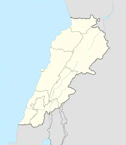 Ain Qana Location in Lebanon | |
| Coordinates: 33°28′19″N 35°30′37″E / 33.47194°N 35.51028°E | |
| Country | |
| Governorate | Nabatieh Governorate |
| District | Nabatieh District |
| Time zone | UTC+2 (EET) |
| • Summer (DST) | +3 |
Ain Qana (Arabic: عين قانا), also known as Ainqana, is a town in the Nabatieh Governorate, Southern Lebanon. The town is situated 680 meters above sea level, has an area of 630 hectares and a population of approximately 5585. The economy is mostly based on agriculture.
References
- Discover Lebanon
- "History of AinQana" by Safi Habhab
External links
- Official web page
- Ain Qana, Localiban
| Capital | 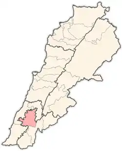 | |
|---|---|---|
| Towns and villages |
| |
| Other | ||
This article is issued from Wikipedia. The text is licensed under Creative Commons - Attribution - Sharealike. Additional terms may apply for the media files.