Banlung municipality
ក្រុងបានលុង Krong Banlung | |
|---|---|
 Lake Yeak Laom | |
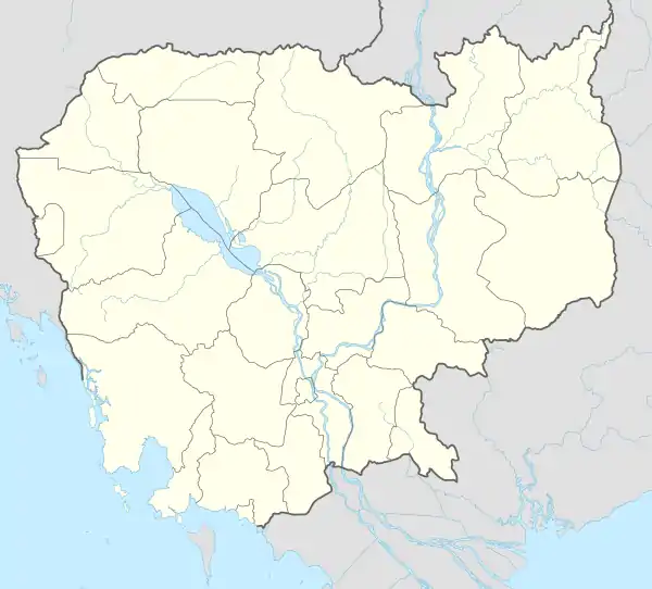 Banlung municipality Location in Cambodia | |
| Coordinates: 13°44′29″N 106°59′14″E / 13.74139°N 106.98722°E | |
| Country | |
| Province | Ratanakiri |
| Capital | Banlung |
| Government | |
| • Type | City municipality |
| Population (1998) | |
| • Total | 16,999 |
| Time zone | UTC+7 (ICT) |
| Geocode | 1602 |
Banlung municipality (Khmer: ក្រុងបានលុង) is a municipality (krong) in Ratanakiri province, northeast of Cambodia.[1] In 1998, it had a population of 16,999. It surrounds the provincial capital of Banlung.
Administration
As of 2020, the municipality is subdivided into 4 communes (sangkat) and further subdivided into 19 villages (phum).[2]
| No. | Code | Name | Khmer | Villages |
|---|---|---|---|---|
| 1 | 1602-01 | Kanchanh | កាចាញ | Muoy, Pir, Bei, Buon |
| 2 | 1602-02 | Labansiek | ឡាបានសៀក | Chey Chumneas, Prampir Makara, Thmei, Aphiwat, Ou Romeat |
| 3 | 1602-03 | Yeak Laom | យក្សឡោម | Lon, Phnum, Sil, La Pou, Chri |
| 4 | 1602-04 | Boeng Kansaeng | បឹងកន្សែង | Tes Anlung, Ou Kansaeng, Phnom Svay, Ou Kontil, Thma Da |
References
- ↑ "Administrative Areas in Ratanak Kiri Province by District and Commune"
- ↑ "Cambodia Gazetteer Database Online". National Committee for Sub-National Democratic Development. Retrieved 15 May 2020.
Capital city: Banlung | |||||||||||||||||||
| Landmarks | 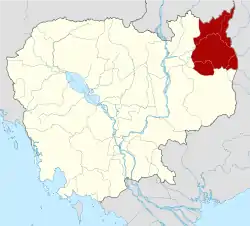 | ||||||||||||||||||
| Administrative divisions |
| ||||||||||||||||||
| Autonomous municipality |
| ||
|---|---|---|---|
| Provinces | |||
This article is issued from Wikipedia. The text is licensed under Creative Commons - Attribution - Sharealike. Additional terms may apply for the media files.