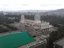
Bole
ቦሌ ክፍለ ከተማ | |
|---|---|
 | |
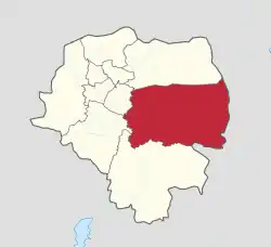 Bole (red) within Addis Ababa | |
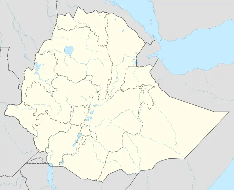 Bole Location in Ethiopia | |
| Coordinates: 9°0′8.64″N 38°47′59.64″E / 9.0024000°N 38.7999000°E | |
| Country | |
| City | Addis Ababa |
| Area | |
| • Total | 122.08 km2 (47.14 sq mi) |
| [1] | |
| Population (2011) | |
| • Total | 328,900[1] |
| Time zone | UTC+3 (East Africa Time) |
| Area code | (+251) 11 |
Bole (Amharic: ቦሌ ክፍለ ከተማ) is a district of Addis Ababa, Ethiopia. As of 2011 its population was of 328,900.[1]
Geography
The district is located in the southeastern suburb of the city. It borders with the districts of Yeka, Kirkos, Nifas Silk-Lafto and Akaky Kaliti.
List of places
- Bole Arabsa
- Ayat Condominium
- Ayat Zone 2
- Ayat Zone 3
- Ayat Zone 5
- BlockLHS
- BlockRHS
- Chefie Condominium
- Flintstone Homes Condominium
- Jackros Condominium
- Natan Feleke Kibret Residence
- Noah Real Estate
Admin Level: 11
- Bole Lemi Industrial Park
- Bole Mikael
- Gerji
- Gewasa
- Ghiliffalegn Stream
- Kotebe
- Kotebe Shet
- Rwanda
- Tafo Shet
- Urael
- Woreda 11 Administrative Office
- Yeka Bole Bota
See also
References
- 1 2 3 "Bole". City Government of Addis Ababa. Archived from the original on 25 November 2013. Retrieved 14 November 2014.
External links
- Google. "Bole" (Map). Google Maps. Google.
| History | |||||
|---|---|---|---|---|---|
| Districts | |||||
| Squares | |||||
| Transport | |||||
| Landmarks | |||||
| Education |
| ||||
This article is issued from Wikipedia. The text is licensed under Creative Commons - Attribution - Sharealike. Additional terms may apply for the media files.