Bommalaramaram
Ramaram | |
|---|---|
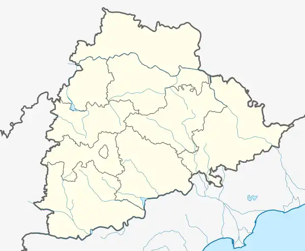 Bommalaramaram Location in Telangana, India  Bommalaramaram Bommalaramaram (India) | |
| Coordinates: 17°33′45″N 78°44′25″E / 17.56250°N 78.74028°E | |
| State | Telangana |
| District | Bhuvanagiri |
| Area | |
| • Total | 11.70 km2 (4.52 sq mi) |
| Population (2011)[1] | |
| • Total | 3,080 |
| • Density | 260/km2 (680/sq mi) |
| Languages | |
| • Official | Telugu |
| Time zone | UTC+5:30 (IST) |
| Lok Sabha constituency | Bhongir |
| Assembly constituency | Aleru |
Bommalaramaram (or B. Ramaram) is a village in Yadadri Bhuvanagiri district of the Indian state of Telangana. It is located in Bommalaramaram mandal of Bhongir division, Also a part of Hyderabad Metropolitan Region and Also RRR (Regional Ring Road) going through this area, Yadagirigutta New Bypass 4 Lanes road also pass from here.[1]
References
- 1 2 3 "District Census Handbook - Nalgonda" (PDF). Census of India. p. 13,146. Retrieved 8 February 2016.
This article is issued from Wikipedia. The text is licensed under Creative Commons - Attribution - Sharealike. Additional terms may apply for the media files.