Bhumiraj
भूमिराज | |
|---|---|
 Bhumiraj Location in Nepal | |
| Coordinates: 29°34′N 80°44′E / 29.56°N 80.73°E | |
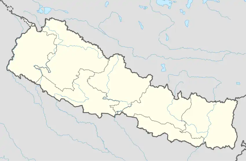
| Country | Nepal |
| Zone | Mahakali Zone |
| District | Baitadi District |
| Population (1991) | |
| • Total | 3,081 |
| • Religions | Hindu |
| Time zone | UTC+5:45 (Nepal Time) |
Bhumiraj is a village development committee in Baitadi District in the Mahakali Zone of western Nepal. At the time of the 1991 Nepal census it had a population of 3,081 and had 516 houses in the village.[1]
References
- ↑ "Nepal Census 2001". Nepal's Village Development Committees. Digital Himalaya. Archived from the original on 2008-10-12. Retrieved 2008-08-25.
Headquarters: Dasharathchand | ||
| Municipalities | 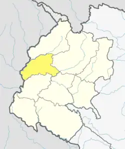 | |
| Rural municipalities | ||
| Former VDCs |
| |
List of municipalities and rural municipalities of Nepal | ||
This article is issued from Wikipedia. The text is licensed under Creative Commons - Attribution - Sharealike. Additional terms may apply for the media files.