The cartography of Sri Lanka is the history of the surveying and creation of maps of Sri Lanka. A list of maps of Sri Lanka in chronological order is shown below.
Maps
| Date | Carto- grapher |
Description | Image |
|---|---|---|---|
| 1st century CE | 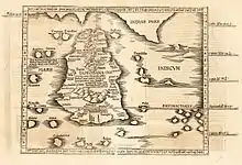 | ||
| 1482 |  | ||
| 1595 | Petrus Plancius | Left–right is north–south. | .jpg.webp) |
| 1681 | Robert Knox |  | |
| 17th century; after 1681 | Nicolaes Visscher II | .jpg.webp) | |
| 1686 | Alain Manesson Mallet | _-_Geographicus_-_Taprobane-mallet-1686.jpg.webp) | |
| 17th century | Robert Morden | 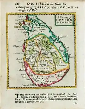 | |
| 1789 | 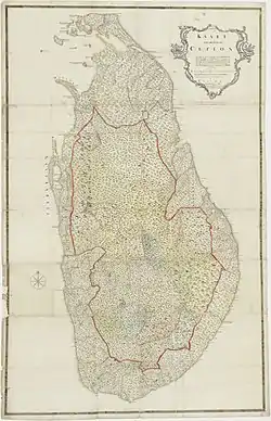 | ||
| late-19th century | 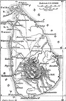 | ||
| c. 1914 | .jpg.webp) |
Small-scale maps
| Date | Title | Carto- grapher |
Description | Image |
|---|---|---|---|---|
| 1815 | Sketch map of Kandy and environ in 1815 | 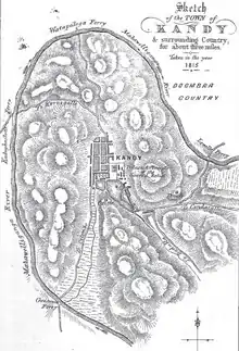 | ||
| 1914 | Map of Kandy and environs | .jpg.webp) |
References
This article is issued from Wikipedia. The text is licensed under Creative Commons - Attribution - Sharealike. Additional terms may apply for the media files.