Dodsland | |
|---|---|
| Village of Dodsland | |
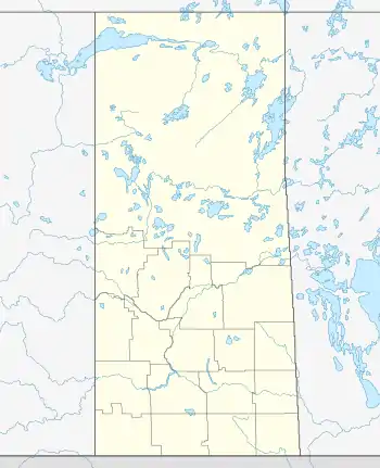  Location of Dodsland in Saskatchewan 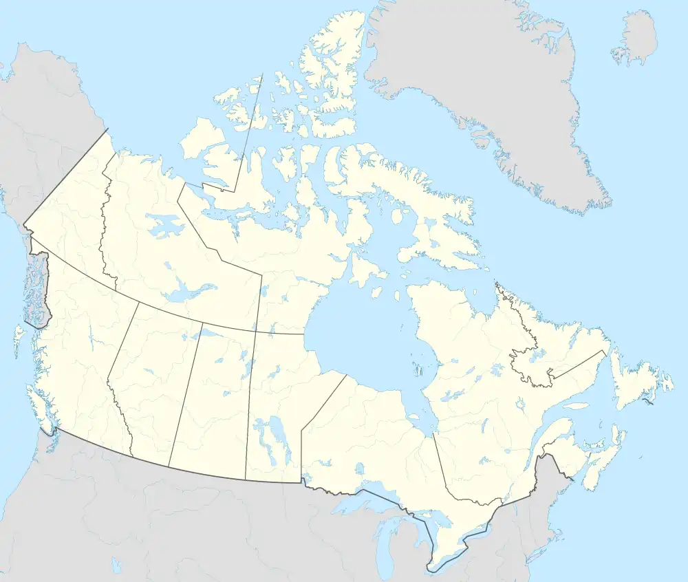 Dodsland, Saskatchewan (Canada) | |
| Coordinates: 51°48′04″N 108°50′17″W / 51.801°N 108.838°W | |
| Country | .svg.png.webp) Canada Canada |
| Province |  Saskatchewan Saskatchewan |
| Region | Central |
| Census division | 13 |
| Rural Municipality | Winslow No. 319 |
| Post office Founded | 1914-01-01 |
| Government | |
| • Type | Municipal |
| • Governing body | Dodsland Village Council |
| • Mayor | Ryan Neumeier |
| • Administrator | Amy Sittler |
| Area | |
| • Total | 2.93 km2 (1.13 sq mi) |
| Population (2016) | |
| • Total | 207 |
| • Density | 73.4/km2 (190/sq mi) |
| Time zone | UTC-6 (CST) |
| Postal code | S0L 0V0 |
| Area code | 306 |
| Highways | .svg.png.webp) Hwy 31 Hwy 31  Hwy 658 Hwy 658 |
| [1][2][3][4] | |
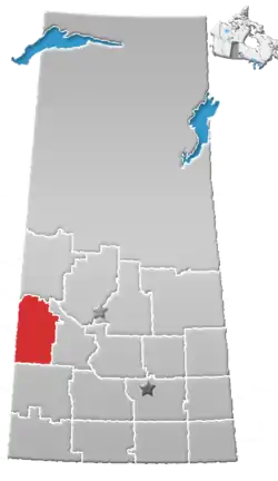
Dodsland (2016 population: 215) is a village in the Canadian province of Saskatchewan within the Rural Municipality of Winslow No. 319 and Census Division No. 13.
History
Dodsland incorporated as a village on August 23, 1913.[5]
Demographics
In the 2021 Census of Population conducted by Statistics Canada, Dodsland had a population of 215 living in 92 of its 114 total private dwellings, a change of 0% from its 2016 population of 215. With a land area of 2.86 km2 (1.10 sq mi), it had a population density of 75.2/km2 (194.7/sq mi) in 2021.[8]
In the 2016 Census of Population, the Village of Dodsland recorded a population of 215 living in 97 of its 111 total private dwellings, a 1.4% change from its 2011 population of 212. With a land area of 2.93 km2 (1.13 sq mi), it had a population density of 73.4/km2 (190.1/sq mi) in 2016.[9]
Notable people
- Ed Chynoweth, Hockey Hall of Fame executive, president of the Western Hockey League and Canadian Hockey League, namesake of the Ed Chynoweth Cup
- Don Gillen, played in the NHL for the Philadelphia Flyers and Hartford Whalers
- Bob Hoffmeyer, Former NHL defenceman
- Brad McCrimmon, Former NHL defenceman and coach, Stanley Cup Champion (1989), killed in the 2011 Lokomotiv Yaroslavl plane crash
See also
Footnotes
- ↑ National Archives, Archivia Net, Post Offices and Postmasters, archived from the original on 2006-10-06
- ↑ Government of Saskatchewan, MRD Home, Municipal Directory System, archived from the original on November 21, 2008, retrieved 2011-05-05
- ↑ Canadian Textiles Institute. (2005), CTI Determine your provincial constituency, archived from the original on 2007-09-11
- ↑ Commissioner of Canada Elections, Chief Electoral Officer of Canada (2005), Elections Canada On-line, archived from the original on 2007-04-21
- ↑ "Urban Municipality Incorporations". Saskatchewan Ministry of Government Relations. Archived from the original on October 15, 2014. Retrieved June 1, 2020.
- ↑ "Saskatchewan Census Population" (PDF). Saskatchewan Bureau of Statistics. Archived from the original (PDF) on September 24, 2015. Retrieved May 31, 2020.
- ↑ "Saskatchewan Census Population". Saskatchewan Bureau of Statistics. Retrieved May 31, 2020.
- ↑ "Population and dwelling counts: Canada, provinces and territories, census divisions and census subdivisions (municipalities), Saskatchewan". Statistics Canada. February 9, 2022. Retrieved April 1, 2022.
- ↑ "Population and dwelling counts, for Canada, provinces and territories, and census subdivisions (municipalities), 2016 and 2011 censuses – 100% data (Saskatchewan)". Statistics Canada. February 8, 2017. Retrieved May 30, 2020.
Places adjacent to Dodsland, Saskatchewan | |
|---|---|


.svg.png.webp)

51°48′04″N 108°50′17″W / 51.801°N 108.838°W