East Prairie | |
|---|---|
Metis Settlement | |
| East Prairie Metis Settlement | |
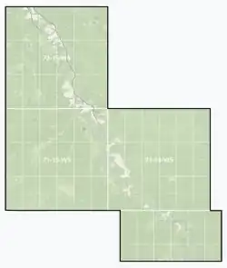 Boundaries of East Prairie | |
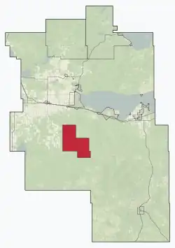 Location within Big Lakes County | |
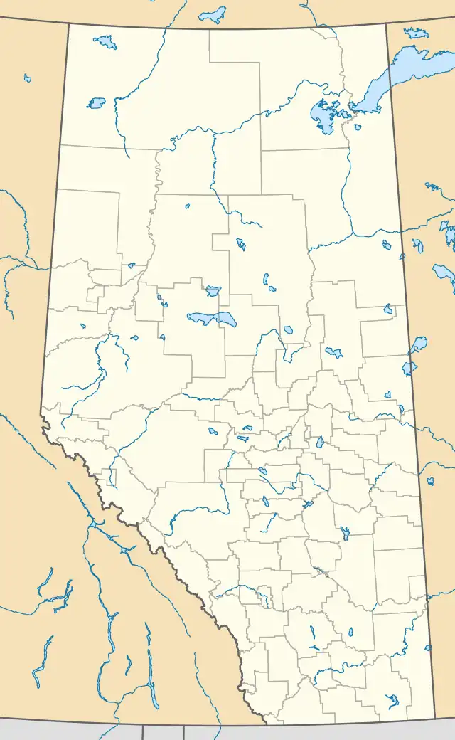 East Prairie Location within Alberta 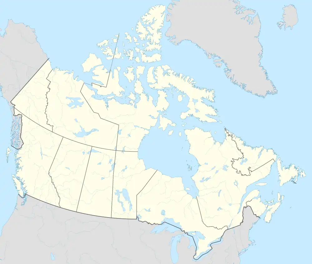 East Prairie East Prairie (Canada) | |
| Coordinates: 55°11′N 116°9′W / 55.183°N 116.150°W | |
| Country | Canada |
| Province | Alberta |
| Region | Northern Alberta |
| Planning region | Upper Athabasca |
| Municipal district | Big Lakes |
| Founded[1] | 1939 |
| Government | |
| • Chair | Gerald Cunningham |
| • Governing body | East Prairie Metis Council |
| Area (2021)[3] | |
| • Land | 802.46 km2 (309.83 sq mi) |
| Population (2021)[3] | |
| • Total | 625 |
| • Density | 0.8/km2 (2/sq mi) |
| Time zone | UTC−7 (MST) |
| • Summer (DST) | UTC−6 (MDT) |
| Forward sortation area | |
| Area code(s) | 780, 587, 825 |
East Prairie Metis Settlement is a Metis settlement in northern Alberta, Canada within Big Lakes County.[4] It is located approximately 20 km (12 mi) south of Highway 2 and 168 km (104 mi) east of Grande Prairie. It was founded in 1939.[1]
Chairperson, Raymond Supernault
Vice Chairperson, Doug Bellerose
Council Members, Delores Desjarlais, Keith Patenaude, Reva Jaycox
Demographics
As a designated place in the 2021 Census of Population conducted by Statistics Canada, East Prairie had a population of 310 living in 120 of its 148 total private dwellings, a change of 2% from its 2016 population of 304. With a land area of 328.42 km2 (126.80 sq mi), it had a population density of 0.9/km2 (2.4/sq mi) in 2021.[3]
The population of the East Prairie Metis Settlement according to its 2018 municipal census is 491,[5] an increase from its 2015 municipal census population count of 459.[6]
As a designated place in the 2016 Census of Population conducted by Statistics Canada, the East Prairie Metis Settlement had a population of 304 living in 98 of its 157 total private dwellings, a change of -16.9% from its 2011 population of 366. With a land area of 334.44 km2 (129.13 sq mi), it had a population density of 0.9/km2 (2.4/sq mi) in 2016.[7]
See also
References
- 1 2 Federation of Metis Settlement (1979). East Prairie Metis, 1939-1979: 40 Years of Determination. Edmonton. p. 1. ISBN 0-88925-055-3.
{{cite book}}: CS1 maint: location missing publisher (link) - ↑ "Municipal Officials Search". Alberta Municipal Affairs. May 9, 2019. Retrieved October 1, 2021.
- 1 2 3 "Population and dwelling counts: Canada and designated places". Statistics Canada. February 9, 2022. Retrieved February 10, 2022.
- ↑ "Specialized and Rural Municipalities and Their Communities" (PDF). Alberta Municipal Affairs. 2012-11-05. Retrieved 2012-11-20.
- ↑ 2019 Municipal Affairs Population List (PDF). Alberta Municipal Affairs. December 2019. ISBN 978-1-4601-4623-1. Retrieved September 28, 2021.
- ↑ 2016 Municipal Affairs Population List (PDF). Alberta Municipal Affairs. ISBN 978-1-4601-3127-5. Retrieved September 28, 2021.
- ↑ "Population and dwelling counts, for Canada, provinces and territories, and designated places, 2016 and 2011 censuses – 100% data (Alberta)". Statistics Canada. February 8, 2017. Retrieved February 9, 2017.
| Alberta |
| ||||||||
|---|---|---|---|---|---|---|---|---|---|
| Saskatchewan |
| ||||||||