Happy Valley | |
|---|---|
Unincorporated rural community | |
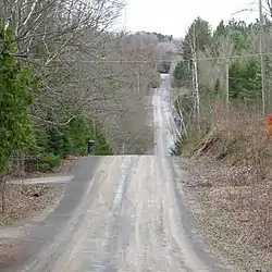 Looking east on Churchill Avenue in Happy Valley | |
 Happy Valley 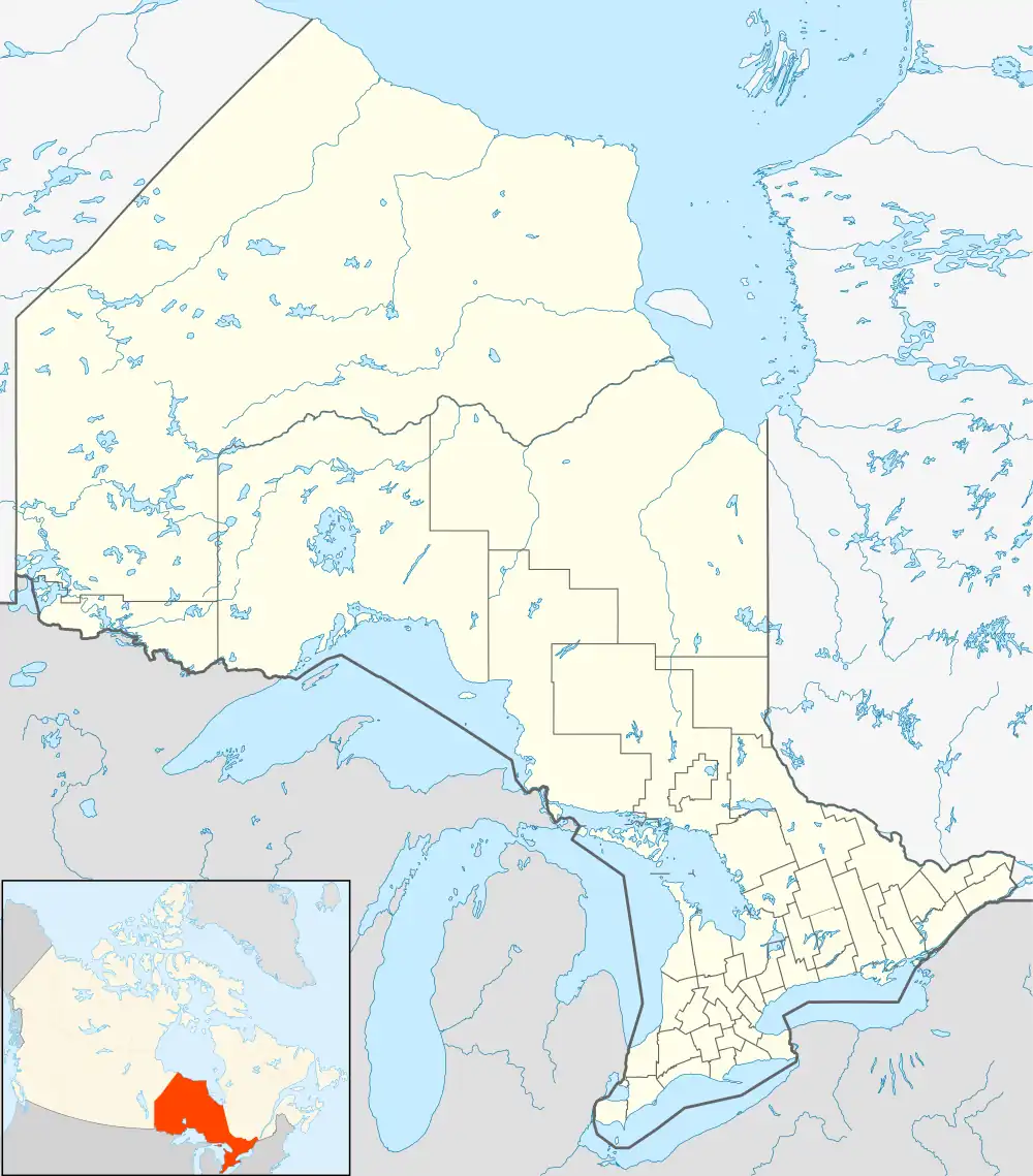 Happy Valley | |
| Coordinates: 43°58′45″N 79°35′46″W / 43.97917°N 79.59611°W | |
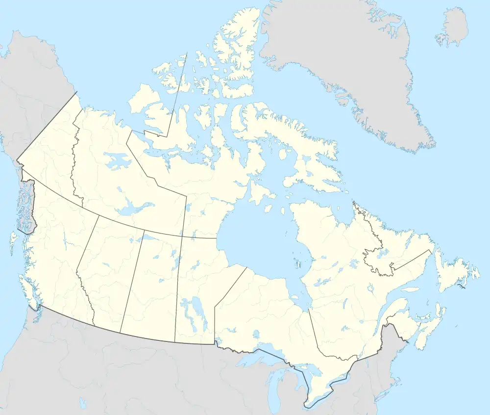
| Country | Canada |
| Province | Ontario |
| Regional Municipality | York |
| Township | King |
| Time zone | UTC-5 (Eastern (EST)) |
| • Summer (DST) | UTC-4 (EDT) |
| GNBC Code | FBLSE[1] |
Happy Valley is an unincorporated rural community in King Township, York Regional Municipality, Ontario, Canada.[1][2]
Geography
Happy Valley Forest is a 6.48 km2 (2.50 sq mi) provincially significant ecological area located near the settlement. It is classified as an Area of Natural and Scientific Interest by the Ontario Ministry of Natural Resources.[3]
References
- 1 2 "Happy Valley". Natural Resources Canada. October 6, 2016.
- ↑ "King". Statistics Canada. November 2, 2016.
- ↑ "Natural Areas Report: HAPPY VALLEY FORESTS". Government of Ontario Ministry of Natural Resources. Archived from the original on 2007-07-17. Retrieved 2007-08-07.
King, Ontario | |
|---|---|
| Municipality | |
| Government |
|
| Geography | |
| Education | |
| Culture | |
| Business and services | |
| Sport | |
| Transportation | |
| |
This article is issued from Wikipedia. The text is licensed under Creative Commons - Attribution - Sharealike. Additional terms may apply for the media files.