Hovet | |
|---|---|
Village | |
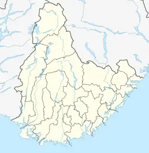 Hovet Location of the village 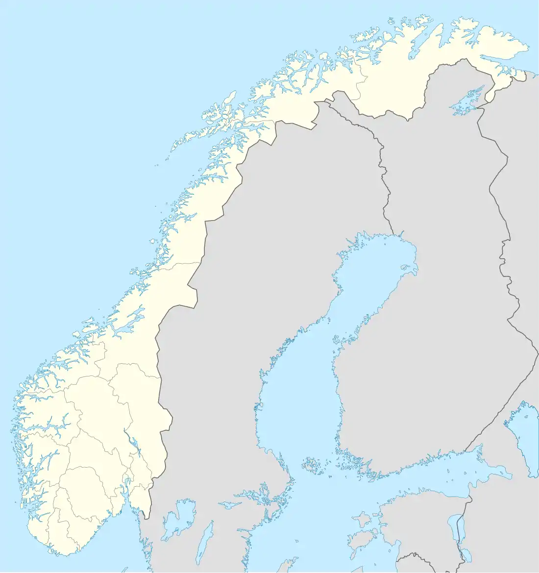 Hovet Hovet (Norway) | |
| Coordinates: 59°06′29″N 7°31′08″E / 59.1081°N 07.5190°E | |
| Country | Norway |
| Region | Southern Norway |
| County | Agder |
| District | Setesdal |
| Municipality | Valle |
| Elevation | 250 m (820 ft) |
| Time zone | UTC+01:00 (CET) |
| • Summer (DST) | UTC+02:00 (CEST) |
| Post Code | 4748 Rysstad |
Hovet is a village in Valle municipality in Agder county, Norway. The village is located just east of the river Otra, about 3 kilometres (1.9 mi) north of the village of Rysstad and about 1.5 kilometres (0.93 mi) east of the village of Brokke. There is a bridge over the river Otra at Hovet which connects to the Norwegian National Road 9 highway which runs along the west side of the highway.[2]
References
- ↑ "Hovet, Valle (Aust-Agder)". yr.no. Retrieved 2017-03-27.
- ↑ "Hovet". SetesdalsWiki (in Norwegian). Retrieved 2017-03-27.
This article is issued from Wikipedia. The text is licensed under Creative Commons - Attribution - Sharealike. Additional terms may apply for the media files.