Uran-Islampur | |
|---|---|
city | |
| Urun-Islampur | |
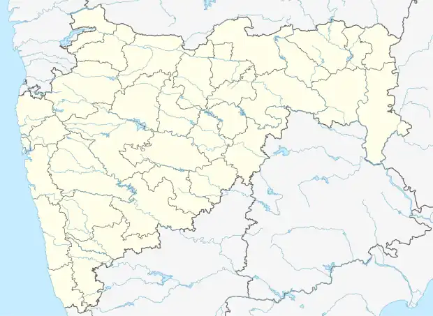 Uran-Islampur Location in Maharashtra, India | |
| Coordinates: 17°03′00″N 74°16′01″E / 17.050°N 74.267°E | |
| Country | |
| State | Maharashtra |
| District | Sangli |
| Government | |
| • Type | Mayor - City President - Municipal Council |
| • Body | Uran-Islampur Municipal Council |
| Area | |
| • Total | 1.38 km2 (0.53 sq mi) |
| Population (2011)[2] | |
| • Total | 67,391 |
| • Density | 49,000/km2 (130,000/sq mi) |
| Language | |
| • Official | Marathi |
| Time zone | UTC+5:30 (IST) |
| Vehicle registration | MH 10, MH 60 |
| Website | www.urun-islampur.in |
Uran-Islampur (Islampur for short) is a city and a Municipal Council in Sangli district in the Indian state of Maharashtra.[1]
The 2011 Census of India recorded a total of 67,391 residents in the town.[1] Islampur, Maharashtra's geographical area is 138 hectares (1.38 km2).[1][2]
References
- 1 2 3 4 "District Census Handbook" (PDF). Census of India. p. 60. Retrieved 16 April 2016.
- 1 2 "Census of India: Search Details - Uran Islampur (M Cl)". Retrieved 8 March 2022.
| History | .svg.png.webp) | |
|---|---|---|
| Geography | ||
| Cities and towns | ||
| Transport | ||
| Lok Sabha constituencies | ||
| Vidhan Sabha constituencies | ||
| Tehsil | ||
| Tourist attractions | ||
| Education | ||
This article is issued from Wikipedia. The text is licensed under Creative Commons - Attribution - Sharealike. Additional terms may apply for the media files.