Leskovets
Лесковец | |
|---|---|
Village | |
 | |
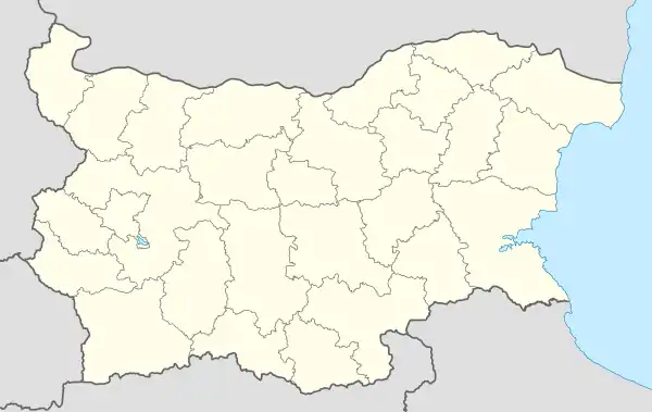 Leskovets Location of Leskovets | |
| Coordinates: 42°35′32″N 22°54′50″E / 42.59222°N 22.91389°E | |
| Country | |
| Province (Oblast) | Pernik |
| Municipality (Obshtina) | Pernik |
| First mentioned | 1576 |
| Government | |
| • Mayor | Andrey Stoichev |
| Area | |
| • Land | 13,884 km2 (5,361 sq mi) |
| Elevation | 730 m (2,400 ft) |
| Population (2020) | |
| • Total | 81 |
| Time zone | UTC+2 (EET) |
| • Summer (DST) | UTC+3 (EEST) |
| Postal Code | 2342 |
| License plate | PK |
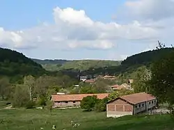
Leskovets (Bulgarian: Лесковец, also transliterated Leskovec) is a village in western Bulgaria. Its located in Oblast Pernik, Obshtina Pernik.
Geography
The village of Leskovets is located in a mountainous region. Its located 2.5 km west of Batanovtsi.
Cultural and natural landmarks
Below the village there is a dam called Bushlyak, above the village is the Kavatsite dam, and even higher is the Lobosh dam.
In the village there is a ZOO - Alis.
Name
The name derives from Leska, which means Hazel in Bulgarian + the Slavic suffix -ets.
Political situation
The village shares a mayor with the neighbouring village of Planinitsa.
References
This article is issued from Wikipedia. The text is licensed under Creative Commons - Attribution - Sharealike. Additional terms may apply for the media files.