| Macedonia Brook State Park | |
|---|---|
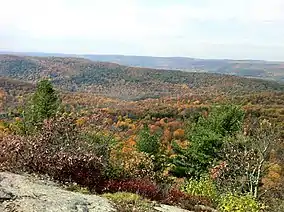 View from Cobble Mountain summit; Catskill Mountains in the background | |
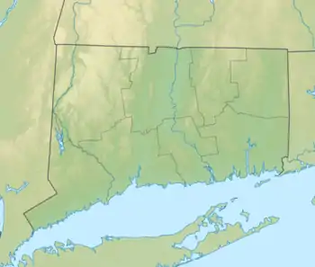 Location in Connecticut 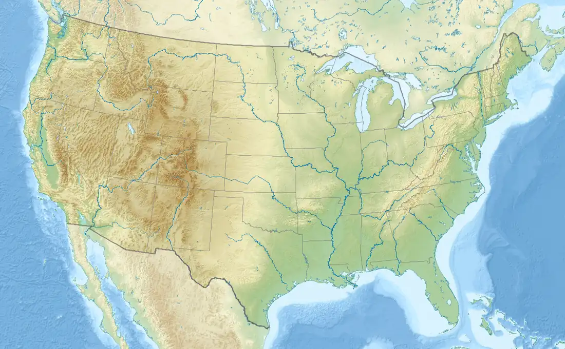 Macedonia Brook State Park (the United States) | |
| Location | Kent, Connecticut, United States |
| Coordinates | 41°46′22″N 73°29′03″W / 41.77278°N 73.48417°W[1] |
| Area | 2,302 acres (9.32 km2)[2] |
| Elevation | 1,066 ft (325 m)[1] |
| Designation | Connecticut state park |
| Established | 1918 |
| Administrator | Connecticut Department of Energy and Environmental Protection |
| Website | Macedonia Brook State Park |
Macedonia Brook State Park is a public recreation area covering 2,302 acres (932 ha) in the town of Kent, Connecticut, United States. Visitors can camp in a 51-site campground, picnic, fish, and hike the blue-blazed Macedonia Ridge Trail, which crosses Cobble Mountain and other peaks. The park's first 1,552 acres (628 ha) were a gift made in 1918 by the White Memorial Foundation.[3]
References
- 1 2 "Macedonia Brook State Park". Geographic Names Information System. United States Geological Survey, United States Department of the Interior.
- ↑ "Appendix A: List of State Parks and Forests" (PDF). State Parks and Forests: Funding. Staff Findings and Recommendations. Connecticut General Assembly. January 23, 2014. p. A-2. Retrieved March 20, 2014.
- ↑ "Macedonia Brook State Park". State Parks and Forests. Connecticut Department of Energy and Environmental Protection. August 8, 2017. Retrieved September 21, 2017.
External links
- Macedonia Brook State Park Connecticut Department of Energy and Environmental Protection
- Macedonia Brook State Park Map Connecticut Department of Energy and Environmental Protection
- Historic American Landscapes Survey (HALS) No. CT-2, "Macedonia Brook State Park", 8 data pages
This article is issued from Wikipedia. The text is licensed under Creative Commons - Attribution - Sharealike. Additional terms may apply for the media files.