Maguarichi | |
|---|---|
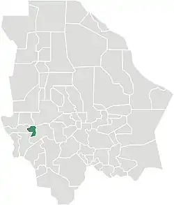 Municipality of Maguarichi in Chihuahua | |
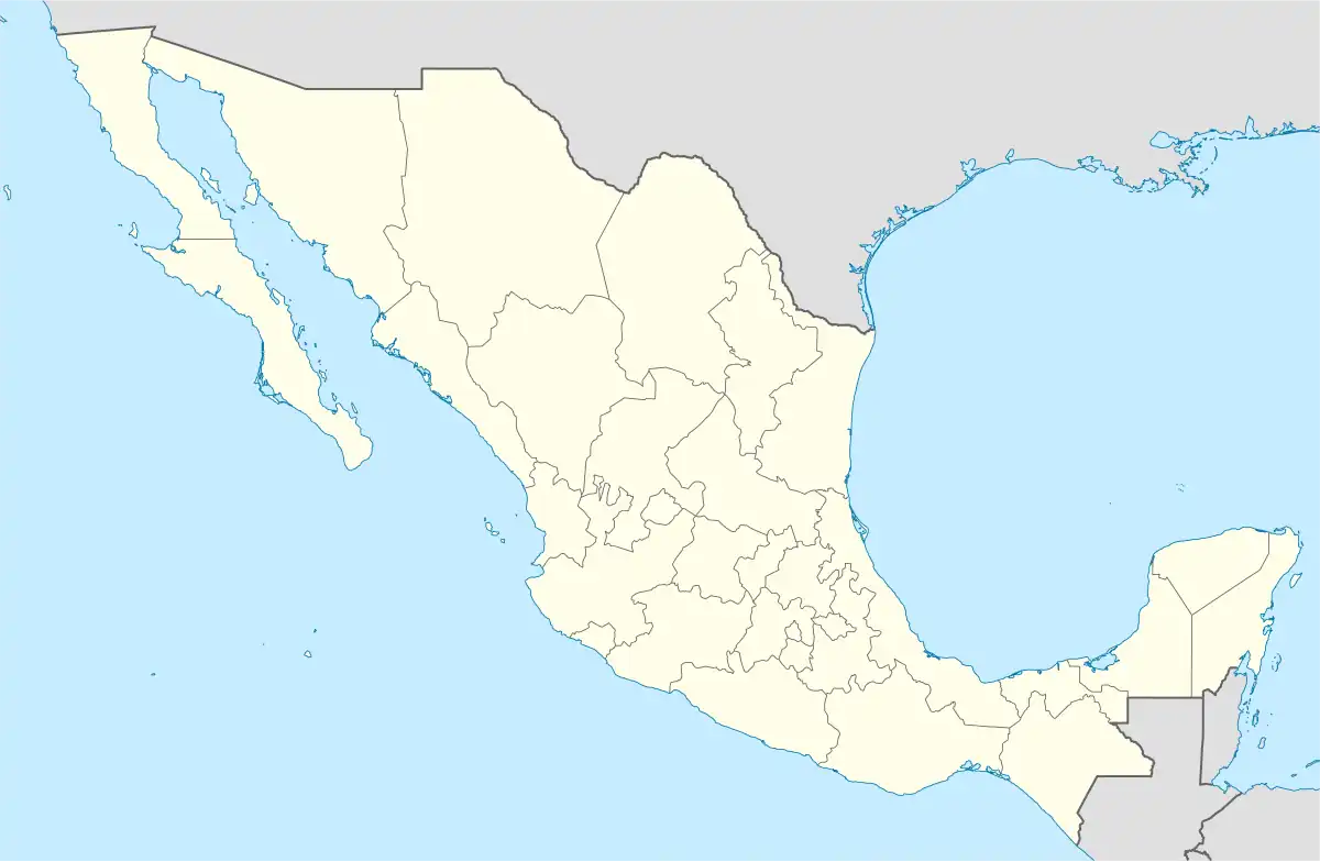 Maguarichi Location in Mexico | |
| Coordinates: 27°51′29″N 107°59′38″W / 27.85806°N 107.99389°W | |
| Country | |
| State | Chihuahua |
| Municipal seat | Maguarichi |
| Area | |
| • Total | 937.2 km2 (361.9 sq mi) |
| Population (2010) | |
| • Total | 1,921 |
| • Density | 2.0/km2 (5.3/sq mi) |
Maguarichi is one of the 67 municipalities of Chihuahua, in northern Mexico. The municipal seat lies at Maguarichi village. The municipality covers an area of 937.2 km².
As of 2010, the municipality had a total population of 1,921,[1] down from 2,116 as of 2005.[2]
The municipality had 158 localities, none of which had a population over 1,000.[1]
Geography
Towns and villages
The municipality has 84 localities. The largest are:
| Name | Population (2005) |
|---|---|
| Maguarichi | 751 |
| Ocoviachi | 241 |
| San José de las Lajas | 93 |
| Total Municipality | 2,116 |
References
- 1 2 "Maguarichi". Catálogo de Localidades. Secretaría de Desarrollo Social (SEDESOL). Retrieved 23 April 2014.
- ↑ "Maguarichi". Enciclopedia de los Municipios de México. Instituto Nacional para el Federalismo y el Desarrollo Municipal. Archived from the original on February 23, 2007. Retrieved October 13, 2008.
Chihuahua (capital) | ||
| Cities | 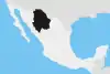 | |
| Municipalities | ||
| Metropolitan areas |
| |
| History | ||
| Sights | ||
| Other topics | ||
This article is issued from Wikipedia. The text is licensed under Creative Commons - Attribution - Sharealike. Additional terms may apply for the media files.