Mang Yang district
Huyện Mang Yang | |
|---|---|
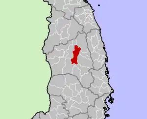 Location in Gia Lai province | |
| Country | |
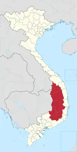
| Region | Central Highlands |
| Province | Gia Lai province |
| Capital | Kon Dơng |
| Area | |
| • Total | 435 sq mi (1,126 km2) |
| Population (2018) | |
| • Total | 53,160 |
| Time zone | UTC+7 (Indochina Time) |
Mang Yang (Vietnamese: Mang Yang) is a district (huyện) of Gia Lai province in the Central Highlands region of Vietnam.
As of 2003 the district had a population of 43,734.[1] The district covers an area of 1,126 km². The district capital lies at Kon Dơng.[1] In 1954, at the end of the First Indochina War, Mang Yang was the site of a bloody battle won by the Viet Minh.
References
- 1 2 "Districts of Vietnam". Statoids. Retrieved March 13, 2009.
14°00′00″N 108°15′00″E / 14.000°N 108.250°E
| Đắk Lắk province |
|  |
|---|---|---|
| Đắk Nông province | ||
| Gia Lai province | ||
| Kon Tum province | ||
| Lâm Đồng province | ||
※ denotes provincial seat. | ||
This article is issued from Wikipedia. The text is licensed under Creative Commons - Attribution - Sharealike. Additional terms may apply for the media files.