| Matanuska Glacier | |
|---|---|
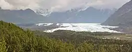 Matanuska Glacier | |
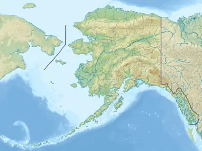  Matanuska Glacier | |
| Type | Mountain glacier |
| Location | Matanuska-Susitna Borough, Alaska, U.S. |
| Coordinates | 61°39′21″N 147°34′52″W / 61.65583°N 147.58111°W |
| Length | 27 miles (43 km) [1] |
| Terminus | Matanuska River |
| Status | Retreating |
Matanuska Glacier is a valley glacier in the US state of Alaska. At 27 miles (43 km) long by 4 miles (6.4 km) wide, it is the largest glacier accessible by car in the United States. Its terminus feeds the Matanuska River.[2] It lies near the Glenn Highway about 100 miles (160 km) northeast of Anchorage in Glacier View. The glacier flows about 1 foot (30 cm) per day. Due to ablation of the lower glacier, as of 2007, the location of the glacier terminus has changed little over the previous three decades.[3]
Ownership and access
The glacier is located in Matanuska Glacier State Recreation Site, a Alaska State Park with trails and a small campground.[4] Although the park is public, a private entity affiliated with Cook Inlet Region, Inc. charges a toll on the only bridge connecting the park to Alaska Route 1. [5][6].
Name
The glacier is the eponym of the Alaska Marine Highway ferry MV Matanuska.
Gallery
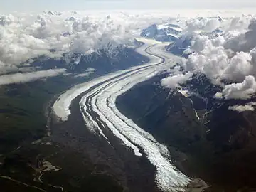 Matanuska Glacier from 20,000 feet (6,100 m)
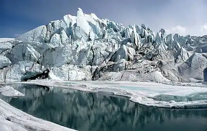 Matanuska Glacier terminus
See also
References

- ↑ Matanuska Glacier
- ↑ Matanuska River
- ↑ "Alaska Glaciers Case Study".
- ↑ Matanuska Glacie SRS, Alaska Department of Natural Resources
- ↑ Hollander, Zaz. "The price of ice: Matanuska Glacier land owner requires $100 tours for first-time visitors". Anchorage Daily News. Retrieved 2024-01-12.
- ↑ https://www.washingtonpost.com/national/alaskas-matanuska-glacier-is-public-but-most-visitors-can-reach-it-only-via-private-land/2021/10/14/03efd51a-26b8-11ec-8831-a31e7b3de188_story.html