Montfaucon-Montigné | |
|---|---|
Part of Sèvremoine | |
Location of Montfaucon-Montigné | |
 Montfaucon-Montigné 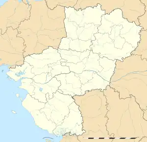 Montfaucon-Montigné | |
| Coordinates: 47°06′03″N 1°07′26″W / 47.1008°N 1.1239°W | |
| Country | France |
| Region | Pays de la Loire |
| Department | Maine-et-Loire |
| Arrondissement | Cholet |
| Canton | Saint-Macaire-en-Mauges |
| Commune | Sèvremoine |
| Area 1 | 17.06 km2 (6.59 sq mi) |
| Population (2019)[1] | 2,239 |
| • Density | 130/km2 (340/sq mi) |
| Demonym(s) | Montois, Montoise |
| Time zone | UTC+01:00 (CET) |
| • Summer (DST) | UTC+02:00 (CEST) |
| Postal code | 49230 |
| 1 French Land Register data, which excludes lakes, ponds, glaciers > 1 km2 (0.386 sq mi or 247 acres) and river estuaries. | |
Montfaucon-Montigné (French pronunciation: [mɔ̃fokɔ̃ mɔ̃tiɲe] ⓘ) is a former commune in the Maine-et-Loire department in western France.
History
The commune was created in 2000 from the merger of Montfaucon-sur-Moine and Montigné-sur-Moine, two formerly neighboring towns.
On 15 December 2015, Le Longeron, Montfaucon-Montigné, La Renaudière, Roussay, Saint-André-de-la-Marche, Saint-Crespin-sur-Moine, Saint-Germain-sur-Moine, Saint-Macaire-en-Mauges, Tillières and Torfou merged becoming one commune called Sèvremoine.
See also
References
Wikimedia Commons has media related to Montfaucon-Montigné.
This article is issued from Wikipedia. The text is licensed under Creative Commons - Attribution - Sharealike. Additional terms may apply for the media files.