Mykhailivka
Михайлівка | |
|---|---|
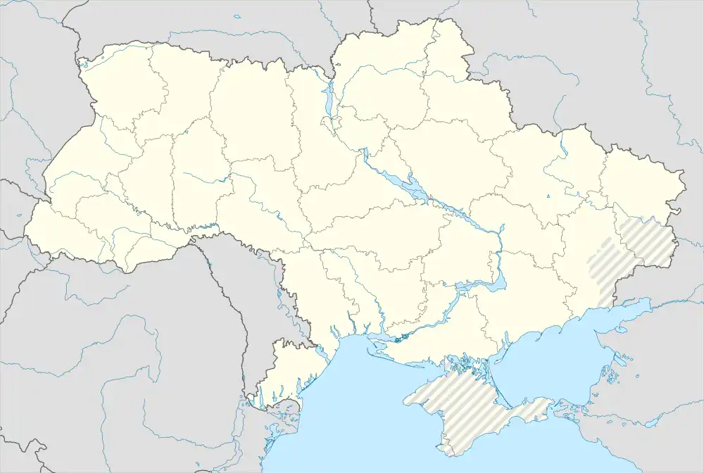 Mykhailivka Location of Mykhaylivka within Ukraine 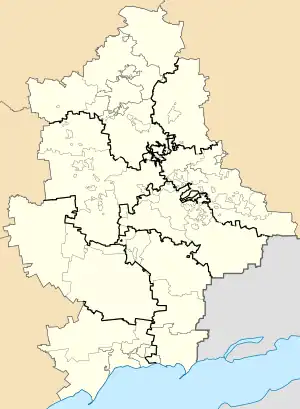 Mykhailivka Mykhailivka (Donetsk Oblast) | |
| Coordinates: 48°14′42″N 37°58′21″E / 48.24500°N 37.97250°E | |
| Country | Ukraine |
| Province | Donetsk Oblast |
| Raion | Horlivka Raion |
| Elevation | 215 m (705 ft) |
| Population | |
| • Total | 627 |
| Time zone | UTC+2 (EET) |
| • Summer (DST) | UTC+3 (EEST) |
| Postal code | 84693 |
| Area code | +380 6242 |
Mykhailivka (Ukrainian: Михайлівка; Russian: Михайловка) is a village in Horlivka Raion of Donetsk Oblast of eastern Ukraine, at 36.9 km NNE from the centre of Donetsk city.
The village was taken under control of pro-Russian forces during the War in Donbass, that started in 2014.[1]
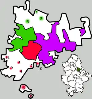
Administrative system of Horlivka:
| Districts of Horlivka: |
Populated places: 1 — Hladosove 2 — Holmivskyi 3 — Zaitseve 4 — Mikhailivka 5 — Ozeryanivka 6 — Panteleymonivka 7 — Piatykhatky 8— Ryasne 9 — Stavky 10 — Fedorivka 11 — Shyroka Balka |
Demographics
Native language as of the Ukrainian Census of 2001:[2]
- Ukrainian 20.10%
- Russian 79.90%
References
This article is issued from Wikipedia. The text is licensed under Creative Commons - Attribution - Sharealike. Additional terms may apply for the media files.