| Nordenskiöld Fjord | |
|---|---|
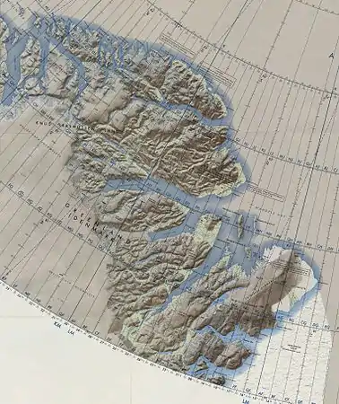 Map of Northeastern Greenland | |
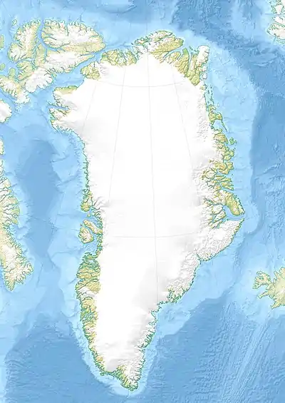 Nordenskiöld Fjord Location in Greenland | |
| Location | Arctic |
| Coordinates | 82°28′N 44°30′W / 82.467°N 44.500°W |
| Ocean/sea sources | Lincoln Sea |
| Basin countries | Greenland |
Nordenskiöld Fjord or Nordenskjöld Fjord is a fjord in Peary Land, northern Greenland.
Geography
To the northwest the fjord opens into the Lincoln Sea of the Arctic Ocean.[1] It separates the island of Nares Land, to the west of the fjord, from Freuchen Land to the east. A narrow sound between Nares Land and the mainland connects inner Nordenskiöld Fjord with Victoria Fjord. John Murray Island and Elison Island are located at its northern end off its mouth. [2] Part of the middle and all of the inner fjord are covered by the large Jungerson Glacier.[3]
)_(17975303809).jpg.webp) Map on which Rasmussen outlined in 1916 the intended route to Peary Land over the inland ice cap. |
See also
References
- ↑ Nordenskjöld Fjord
- ↑ Nares Land
- ↑ Prostar Sailing Directions 2005 Greenland and Iceland Enroute, p. 95
External links
This article is issued from Wikipedia. The text is licensed under Creative Commons - Attribution - Sharealike. Additional terms may apply for the media files.