Ōzu
大津町 | |
|---|---|
Town | |
 Flag  Seal | |
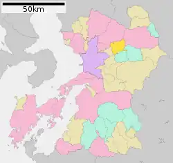 Location of Ōzu in Kumamoto Prefecture | |
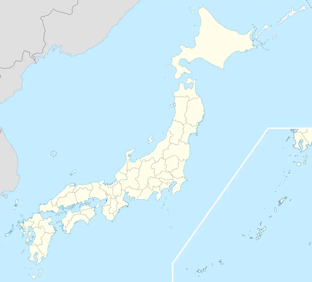 Ōzu Location in Japan | |
| Coordinates: 32°52′N 130°52′E / 32.867°N 130.867°E | |
| Country | Japan |
| Region | Kyushu |
| Prefecture | Kumamoto Prefecture |
| District | Kikuchi |
| Area | |
| • Total | 99.09 km2 (38.26 sq mi) |
| Population (October 1, 2016) | |
| • Total | 33,793 |
| • Density | 340/km2 (880/sq mi) |
| Time zone | UTC+09:00 (JST) |
| Website | www |
Ōzu (大津町, Ōzu-machi) is a town located in Kikuchi District, Kumamoto Prefecture, Japan.
As of October 1, 2016, the town has an estimated population of 33,793 and a density of 340 persons per km². The total area is 99.09 km².
The town is known for its Azalea (tsutsuji) Festival in the spring. There is a large Honda factory located near Ozu that employs people from around the world.[1] Ozu is also known for its sweet potatoes (karaimo).[2] The town also has one of the oldest homes in Kikuchi District that opens twice a year for tourists, a racing track, and is located on the edge of the caldera that surrounds Mount Aso.[2]
Ozu was affected by the 2016 Kumamoto earthquakes.

National Route 57 Ozu Town
References
- ↑ "Honda to raise retirement age to 65 in recognition of demographic shift". The Japan Times. 2015-12-01. Retrieved 2022-10-21.
- 1 2 "Experience Japan's Bushido Culture in Ozu Town, Kumamoto | Kyushu Tourism Promotion Organization". www.visit-kyushu.com. Retrieved 2022-10-21.
External links
 Media related to Ōzu, Kumamoto at Wikimedia Commons
- Ōzu official website (in Japanese)
This article is issued from Wikipedia. The text is licensed under Creative Commons - Attribution - Sharealike. Additional terms may apply for the media files.