Paipra | |
|---|---|
Town | |
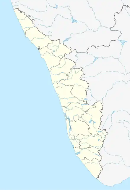 Paipra Location in Kerala, India  Paipra Paipra (India) | |
| Coordinates: 10°1′30″N 76°33′25″E / 10.02500°N 76.55694°E | |
| Country | |
| State | Kerala |
| District | Ernakulam |
| Area | |
| • Total | 23 km2 (9 sq mi) |
| Population (2001) | |
| • Total | 24,000 |
| • Density | 1,000/km2 (2,700/sq mi) |
| Languages | |
| • Official | Malayalam, English |
| Time zone | UTC+5:30 (IST) |
| PIN | 686673 |
| Telephone code | 91 485 |
| Vehicle registration | KL-17 |
| Coastline | 0 kilometres (0 mi) |
| Nearest city | Muvattupuzha |
| Sex ratio | 1023 ♂/♀ |
| Literacy | 95% |
| Lok Sabha constituency | Idukki |
| Climate | Tropical monsoon (Köppen) |
| Avg. summer temperature | 35 °C (95 °F) |
| Avg. winter temperature | 23 °C (73 °F) |

Paipra Radhakrishnan, writer
Paipra (near Pezhakkappilly) is a small village in Muvattupuzha Taluka of Ernakulam district of Kerala state, south India.
Location
Paipra is located at the centre of a triangle formed by four medium-sized towns: Muvattupuzha, Banttaraptzhu Perumbavoor and Kothamangalam.
Paipra is a central point in, and an industrial area of, the growing town of Muvattupuzha. It has a variety of political parties. Its main agricultural activities are pineapple, rubber, and tapioca.
References
This article is issued from Wikipedia. The text is licensed under Creative Commons - Attribution - Sharealike. Additional terms may apply for the media files.