Partyzanske
Партизанскье | |
|---|---|
Settlement | |
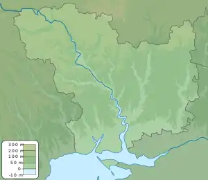 Partyzanske Location within Mykolaiv Oblast 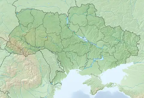 Partyzanske Partyzanske (Ukraine) | |
| Coordinates: 47°04′12.2″N 32°32′00.5″E / 47.070056°N 32.533472°E | |
| Sovereign State | Ukraine |
| Oblast | Mykolaiv Oblast |
| Raion | Bashtanka Raion |
| Established | 1937 |
| Area | |
| • Total | 0.57 km2 (0.22 sq mi) |
| Elevation | 57 m (187 ft) |
| Population | |
| • Total | 1,021 |
| Time zone | UTC+2 (EET) |
| • Summer (DST) | UTC+3 (EEST) |
Partyzanske (Ukrainian: Партизанське), is a settlement located in the Bashtanka Raion of the Mykolaiv Oblast in Ukraine. The governing body is the Partyzanske Village Council. The population is 1,021.[1]
History
On July 17, 2020, the settlement was transferred into the Bashtanka Raion from the Vitovsky Raion.[2]
During the 2022 Russian invasion of Ukraine, the village was occupied and later contested. [3]
Geography
The elevation of the settlement is 57 meters.[4] It has an area of 0.57 square kilometers or ~570 square meters.
The hamlet is located near Snihurvika, Pervomaiske, Novopetrivka and north of Blahodatne.
References
- ↑ "Ukraine 2001". 2012-10-20. Archived from the original on 2012-10-20. Retrieved 2023-04-07.
- ↑ "Про утворення та ліквідацію районів". Офіційний вебпортал парламенту України (in Ukrainian). Retrieved 2023-04-07.
- ↑ Pavlenko, Iryna. "Mykolaiv Region refugee describes life under Russian occupation, escape". Get the Latest Ukraine News Today - KyivPost. Retrieved 2023-04-07.
- ↑ "weather.in.ua - погода в с. Партизанське (Миколаївська область, Жовтневий район) - прогноз погоди в Україні на 3 та 5 днів". 2016-06-07. Archived from the original on 2016-06-07. Retrieved 2023-04-07.
This article is issued from Wikipedia. The text is licensed under Creative Commons - Attribution - Sharealike. Additional terms may apply for the media files.