| Pleystor Glacier | |
|---|---|
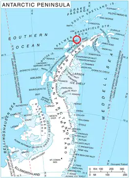 Location of Liège Island in the Antarctic Peninsula region | |
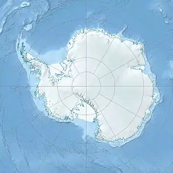 Location of Pleystor in Antarctica | |
| Location | Palmer Archipelago |
| Coordinates | 64°03′18″S 62°00′35″W / 64.05500°S 62.00972°W |
| Length | 1 nmi (2 km; 1 mi) |
| Width | 0.6 nmi (1 km; 1 mi) |
| Thickness | unknown |
| Terminus | Vapa Cove |
| Status | unknown |
Pleystor Glacier (Bulgarian: ледник Плейстор, romanized: lednik Pleystor, IPA: [ˈlɛdnik ˈplɛjstor]) is the 2.2 km long and 1.2 km wide glacier on the west side of Brugmann Mountains on Liège Island in the Palmer Archipelago, Antarctica. It is situated south-southwest of Zbelsurd Glacier, draining the south slopes of Mishev Bluff, the southwest slopes of Pavlov Peak and the northwest slopes of Mount Vesalius, and flowing west-northwestwards into Vapa Cove.
The glacier is named after the Thracian god Pleystor.
Location
Pleystor Glacier is centred at 64°03′18″S 62°00′35″W / 64.05500°S 62.00972°W. British mapping in 1978 and 1980.
See also
Maps
- British Antarctic Territory. Scale 1:200000 topographic map. DOS 610 Series, Sheet W 64 60. Directorate of Overseas Surveys, UK, 1978.
- British Antarctic Territory. Scale 1:200000 topographic map. DOS 610 Series, Sheet W 64 62. Directorate of Overseas Surveys, UK, 1980.
- Antarctic Digital Database (ADD). Scale 1:250000 topographic map of Antarctica. Scientific Committee on Antarctic Research (SCAR). Since 1993, regularly upgraded and updated.
References
- Bulgarian Antarctic Gazetteer. Antarctic Place-names Commission. (details in Bulgarian, basic data in English)
- Pleystor Glacier. SCAR Composite Antarctic Gazetteer.
External links
- Pleystor Glacier. Copernix satellite image
This article includes information from the Antarctic Place-names Commission of Bulgaria which is used with permission.
This article is issued from Wikipedia. The text is licensed under Creative Commons - Attribution - Sharealike. Additional terms may apply for the media files.