Posiłek | |
|---|---|
Village | |
 Posiłek | |
 Posiłek | |
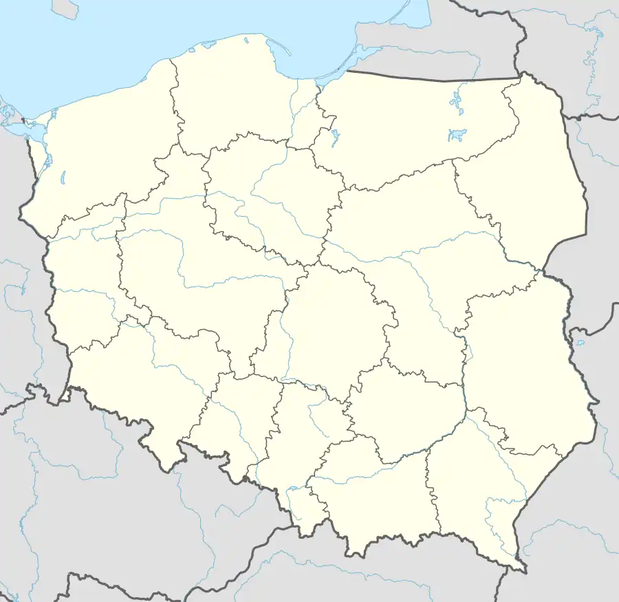
| Coordinates: 50°31′29″N 17°54′49″E / 50.52472°N 17.91361°E | |
| Country | |
| Voivodeship | Opole |
| County | Krapkowice |
| Gmina | Krapkowice |
| Area | 0.8 km2 (0.3 sq mi) |
| Time zone | UTC+1 (Central European Standard Time) |
| • Summer (DST) | UTC+2 (Central European Summer Time) |
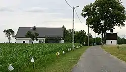
Posiłek [pɔˈɕiwɛk] is a village in the administrative district of Gmina Krapkowice, within Krapkowice County, Opole Voivodeship, in south-western Poland.[1] It lies approximately 8 kilometres (5 mi) north-west of Krapkowice and 16 km (10 mi) south of the regional capital Opole. It lies 3 km west of the Oder River. There is a Petrol/Service station in the village.[2]
References
- ↑ "Central Statistical Office (GUS) - TERYT (National Register of Territorial Land Apportionment Journal)" (in Polish). 2008-06-01.
- ↑ "Google Maps". Google Maps. Retrieved 2022-10-21.
| Town and seat |  | |
|---|---|---|
| Villages | ||
This article is issued from Wikipedia. The text is licensed under Creative Commons - Attribution - Sharealike. Additional terms may apply for the media files.