Rangunia
রাঙ্গুনিয়া | |
|---|---|
Town and Municipality | |
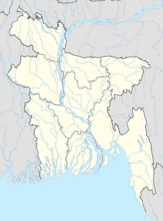 Rangunia Location in Bangladesh | |
| Coordinates: 22°27′57.9″N 92°02′48.8″E / 22.466083°N 92.046889°E | |
| Country | Bangladesh |
| Division | Chittagong Division |
| District | Chittagong District |
| Upazila | Rangunia Upazila |
| Municipality established | 4 July 2000 |
| Government | |
| • Type | Municipality |
| • Body | Rangunia Municipality |
| Area | |
| • Land | 15.4 km2 (5.9 sq mi) |
| Population (2001) | |
| • Total | 23,036 |
Rangunia is a sub-Sub-division of Chittagong District in the division of Chittagong.
References
This article is issued from Wikipedia. The text is licensed under Creative Commons - Attribution - Sharealike. Additional terms may apply for the media files.