| Rock River | |
|---|---|
  | |
| Location | |
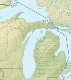
| Country | United States |
| State | Michigan |
| Physical characteristics | |
| Source | |
| • location | Worm Lake |
| • coordinates | 46°32′49″N 88°28′31″W / 46.5468843°N 88.4754145°W |
| Mouth | Sturgeon River |
• coordinates | 46°35′38″N 88°32′28″W / 46.5938276°N 88.5412470°W |
• elevation | 1,227 ft (374 m) |
The Rock River is a 6.1-mile-long (9.8 km) stream in Baraga County on the Upper Peninsula of Michigan in the United States.[1] It rises at the outlet of Worm Lake, east of Covington, and flows northwest.[2] It eventually empties into the Sturgeon River which continues west, then north to Portage Lake and Lake Superior. The Rock River descends 350 feet (110 m) over its 6-mile (10 km) course, for an average rate of 58 feet per mile.
See also
References
- ↑ "Report for: Rock River". USGNIS. U.S. Department of the Interior. Retrieved 22 March 2021.
- ↑ "Baraga County" (PDF). mapgeeks.org. U.S. Census Bureau. Retrieved 22 March 2021.
This article is issued from Wikipedia. The text is licensed under Creative Commons - Attribution - Sharealike. Additional terms may apply for the media files.