Sadali
Sàdali | |
|---|---|
| Comune di Sadali | |
Location of Sadali | |
 Sadali Location of Sadali in Sardinia 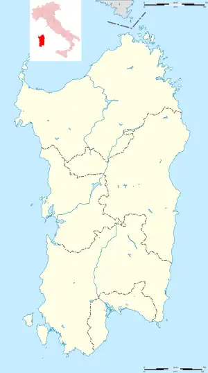 Sadali Sadali (Sardinia) | |
| Coordinates: 39°49′N 9°16′E / 39.817°N 9.267°E | |
| Country | Italy |
| Region | Sardinia |
| Province | South Sardinia |
| Frazioni | Esterzili, Nurri, Seui (OG), Seulo, Villanova Tulo |
| Area | |
| • Total | 49.88 km2 (19.26 sq mi) |
| Elevation | 705 m (2,313 ft) |
| Population (2018-01-01)[1] | |
| • Total | 1,054 |
| • Density | 21/km2 (55/sq mi) |
| Time zone | UTC+1 (CET) |
| • Summer (DST) | UTC+2 (CEST) |
| Postal code | 08030 |
| Dialing code | 0782 |
| ISTAT code | 091074 |
| Patron saint | San Valentino |
| Website | Official website |
Sadali, Sàdali in sardinian language, is a comune (municipality) in the Province of South Sardinia in the Italian island of Sardinia. As of 2006, it had a population of 1,054 and an area of 49.88 square kilometres (19.26 sq mi), which amounts to about 21 people per square kilometre (55/sq mi). It is one of I Borghi più belli d'Italia ("The most beautiful villages of Italy").[2]
Geography
Sadali borders the following municipalities: Esterzili, Nurri, Seui (Province of Ogliastra), Seulo, and Villanova Tulo.
References
Wikimedia Commons has media related to Sadali.
- ↑ All demographics and other statistics from the Italian statistical institute (Istat)
- ↑ "Sardegna" (in Italian). Retrieved 1 August 2023.
This article is issued from Wikipedia. The text is licensed under Creative Commons - Attribution - Sharealike. Additional terms may apply for the media files.