San Andrés | |
|---|---|
Municipality | |
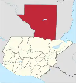
 San Andrés Location in Guatemala | |
| Coordinates: 16°58′03″N 89°54′37″W / 16.96750°N 89.91028°W | |
| Country | |
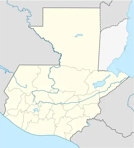
| Department | |
| Municipality | San Andrés |
| Government | |
| • Type | Municipal |
| • Mayor | Milton Méndez (PP) |
| Area | |
| • Municipality | 8,874 km2 (3,426 sq mi) |
| Elevation | 150 m (490 ft) |
| Population (Census 2002) | |
| • Municipality | 20,295 |
| • Urban | 5,740 |
| • Ethnicities | Q’eqchi Ladino |
| • Religions | Roman Catholicism Evangelicalism Maya |
| Climate | Am |
San Andrés is a municipality in the department of El Petén in Guatemala. The municipality is formed by the town of San Andrés, located on the north-western shore of Lake Petén Itzá, and 55 rural communities, with a total population of 20,295 people (census 2002).[1]
The municipality was created in 1962 and has a territory 8,874 km², equivalent to 25% of the department of El Petén. In the 1990s, more than 93% (8,288 km²) of the municipality's territory was declared protected nature reserve by the central government.[2]
References
- ↑ "Municipalidad de San Andrés, Petén - Diagnóstico Institucional" (doc) (in Spanish). Guatemala: marn.gob.gt. 2007. Retrieved 2009-07-26.
- ↑ Morales Santizo, Karla Lorena (2008). "Municipio de San Andrés, Departamento de Petén - "Administración del Riesgo"" (pdf) (in Spanish). Guatemala: USAC. Retrieved 2009-07-26.
This article is issued from Wikipedia. The text is licensed under Creative Commons - Attribution - Sharealike. Additional terms may apply for the media files.