Saumsville, Virginia | |
|---|---|
 | |
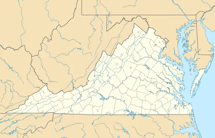 Saumsville Location in the state of Virginia | |
| Coordinates: 38°56′06″N 78°29′52″W / 38.93500°N 78.49778°W | |
| Country | United States |
| State | Virginia |
| County | Shenandoah |
| Elevation | 988 ft (301 m) |
| Time zone | UTC−5 (Eastern (EST)) |
| • Summer (DST) | UTC−4 (EDT) |
| ZIP code | 22644 |
| Area code | 540 |
| GNIS feature ID | 2830690[1] |
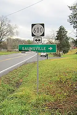
Saumsville is a CDP in Shenandoah County, Virginia, United States.[1] Saumsville is located approximately 3.7 miles (6.0 km) north of Woodstock, Virginia and 8.4 miles (13.5 km) southwest of Strasburg, Virginia.[2]
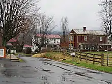
Downtown Saumsville
References
- 1 2 "Saumsville Census Designated Place". Geographic Names Information System. United States Geological Survey, United States Department of the Interior. Retrieved February 16, 2014.
- ↑ "The National Map". Retrieved February 16, 2014.
Municipalities and communities of Shenandoah County, Virginia, United States | ||
|---|---|---|
| Towns | 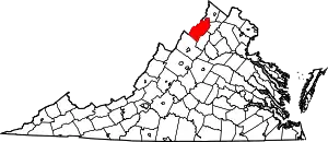 Map of Virginia highlighting Shenandoah County | |
| CDPs | ||
| Other communities | ||
This article is issued from Wikipedia. The text is licensed under Creative Commons - Attribution - Sharealike. Additional terms may apply for the media files.