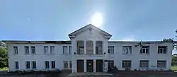
Semenivka
Семéнівка | |
|---|---|
 | |
 Flag  Coat of arms | |
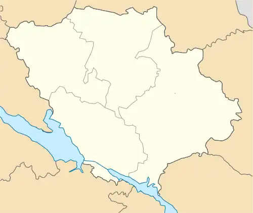 Semenivka 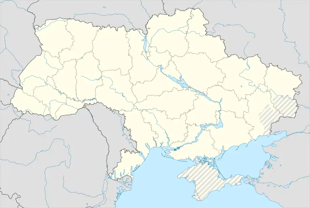 Semenivka | |
| Coordinates: 49°35′42″N 33°10′48″E / 49.59500°N 33.18000°E | |
| Country | |
| Oblast | |
| Raion | |
| Founded | 1753 |
| Area | |
| • Total | 10.7 km2 (4.1 sq mi) |
| Population (2022) | |
| • Total | 5,776 |
| Time zone | UTC+2 (EET) |
| • Summer (DST) | UTC+3 (EEST) |
| Postcode district(s) | 38200 |
| Area code | 5341 |
Semenivka (Ukrainian: Семéнівка) is an urban-type settlement in Poltava Oblast (province) of Ukraine. It was formerly the administrative center of Semenivka Raion, but now administrated within Kremenchuk Raion. Population: 5,776 (2022 estimate).[1]
History
Semenivka was founded in the 16th century on the place of horse post station. It was named after Semen Rodzianko.
References
- ↑ Чисельність наявного населення України на 1 січня 2022 [Number of Present Population of Ukraine, as of January 1, 2022] (PDF) (in Ukrainian and English). Kyiv: State Statistics Service of Ukraine. Archived (PDF) from the original on 4 July 2022.
49°35′42″N 33°10′48″E / 49.595°N 33.18°E
This article is issued from Wikipedia. The text is licensed under Creative Commons - Attribution - Sharealike. Additional terms may apply for the media files.