| Shingle Peak | |
|---|---|
 Shingle Peak | |
| Highest point | |
| Elevation | 9,827 ft (2,995 m) NAVD 88[1] |
| Prominence | 2,863 ft (873 m)[1] |
| Coordinates | 38°30′30″N 114°55′40″W / 38.508307°N 114.927829°W |
| Geography | |
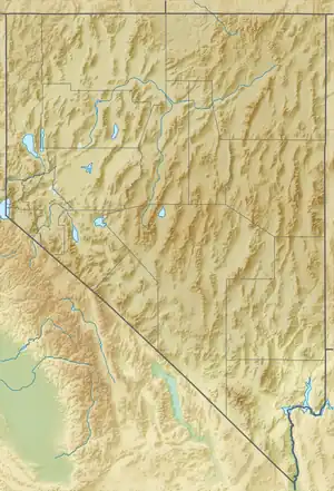
| Location | Lincoln County, Nevada, U.S. |
| Parent range | Egan Range |
| Topo map | USGS SHINGLE PASS |
Shingle Peak is the highest independent mountain completely within Lincoln County in Nevada, United States. The peak is part of the Egan Range and lies within the Humboldt-Toiyabe National Forest.[2]
References
- 1 2 "Shingle Peak, Nevada". Peakbagger.com. Retrieved 2015-01-22.
- ↑ "Shingle Peak". SummitPost.org. Retrieved 2015-01-22.
This article is issued from Wikipedia. The text is licensed under Creative Commons - Attribution - Sharealike. Additional terms may apply for the media files.