Serghaya
سرغايا Sirghaya | |
|---|---|
Town | |
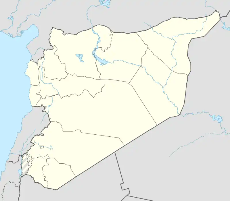 Serghaya Location in Syria | |
| Coordinates: 33°47′N 36°8′E / 33.783°N 36.133°E | |
| Country | |
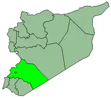
| Governorate | Rif Dimashq |
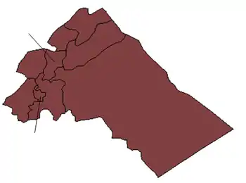
| District | al-Zabadani |
| Subdistrict | Serghaya |
| Elevation | 1,446 m (4,744 ft) |
| Population (2004 census)[1] | |
| • Total | 7,501 |
| Area code | 11 |
| Climate | Csb |
Serghaya or Sirghaya (Arabic: سرغايا, romanized: Saraghāyā) is a small town located in the Damascus countryside in south west Syria. According to the Syria Central Bureau of Statistics (CBS), Serghaya had a population of 7,501 in the 2004 census.[1] Its inhabitants are predominantly Sunni Muslims.[2]
Geography
It is 60 km (37 mi) from Damascus and 1,446 m (4,744 ft) above sea level. It is at the foot of the Anti-Lebanon Mountain. Serghaya has a moderate climate with a temperature that varies from 25 to 32 degrees Celsius all summer season and cold climate with temperature varies from -5 up to 10 all winter when snow covers the land and mountain.
It is connected to Damascus via Al-Zabadani and also has old rail reaches to Beirut via Riyaq (or Rayak), Bekaa.
Nearby Towns
- West :`Utayb (3.5 nm)
- North: Yahfufah (3.4 nm), Al Khuraybah (4.0 nm), Ma`rabun (3.4 nm)
- East: Al `Uwayni (0.4 nm)
- South: `Ayn al Hawr (2.2 nm)
Climate
In Serghaya, there is a cool summer Mediterranean climate. Rainfall is higher in winter than in summer. The Köppen-Geiger climate classification is Csc. The average annual temperature in Serghaya is 11.5 °C (52.7 °F). About 583 mm (22.95 in) of precipitation falls annually.
| Climate data for Serghaya | |||||||||||||
|---|---|---|---|---|---|---|---|---|---|---|---|---|---|
| Month | Jan | Feb | Mar | Apr | May | Jun | Jul | Aug | Sep | Oct | Nov | Dec | Year |
| Mean daily maximum °C (°F) | 7.4 (45.3) |
7.6 (45.7) |
11.4 (52.5) |
15.4 (59.7) |
20.7 (69.3) |
24.1 (75.4) |
26.3 (79.3) |
26.3 (79.3) |
25.4 (77.7) |
20.2 (68.4) |
13.5 (56.3) |
7.1 (44.8) |
17.1 (62.8) |
| Mean daily minimum °C (°F) | −1.3 (29.7) |
−1.0 (30.2) |
1.4 (34.5) |
4.7 (40.5) |
7.7 (45.9) |
11.5 (52.7) |
12.9 (55.2) |
13.3 (55.9) |
11.0 (51.8) |
7.6 (45.7) |
3.9 (39.0) |
−0.5 (31.1) |
5.9 (42.7) |
| Average precipitation mm (inches) | 132 (5.2) |
100 (3.9) |
88 (3.5) |
39 (1.5) |
21 (0.8) |
0 (0) |
0 (0) |
0 (0) |
2 (0.1) |
25 (1.0) |
59 (2.3) |
117 (4.6) |
583 (23.0) |
| Source: Climate-Data.org,Climate data | |||||||||||||
Economy
Economy for this town is based on agricultural activities and the main crops are (Apple, Cherry, Pear, Peach and Apricot).
References
- 1 2 General Census of Population and Housing 2004. Syria Central Bureau of Statistics (CBS). Rif Dimashq Governorate. (in Arabic)
- ↑ Robinson and Smith, 1841, vol 3, 2nd appendix, p. 146
Bibliography
33°48′N 36°09′E / 33.800°N 36.150°E
|   | ||||||||||||||||||
|
| |||||||||||||||||||
| |||||||||||||||||||
| |||||||||||||||||||
| |||||||||||||||||||
| |||||||||||||||||||
| |||||||||||||||||||
| |||||||||||||||||||
| |||||||||||||||||||