Skogbygda | |
|---|---|
Village | |
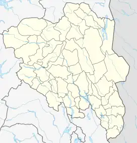 Skogbygda Location of the village 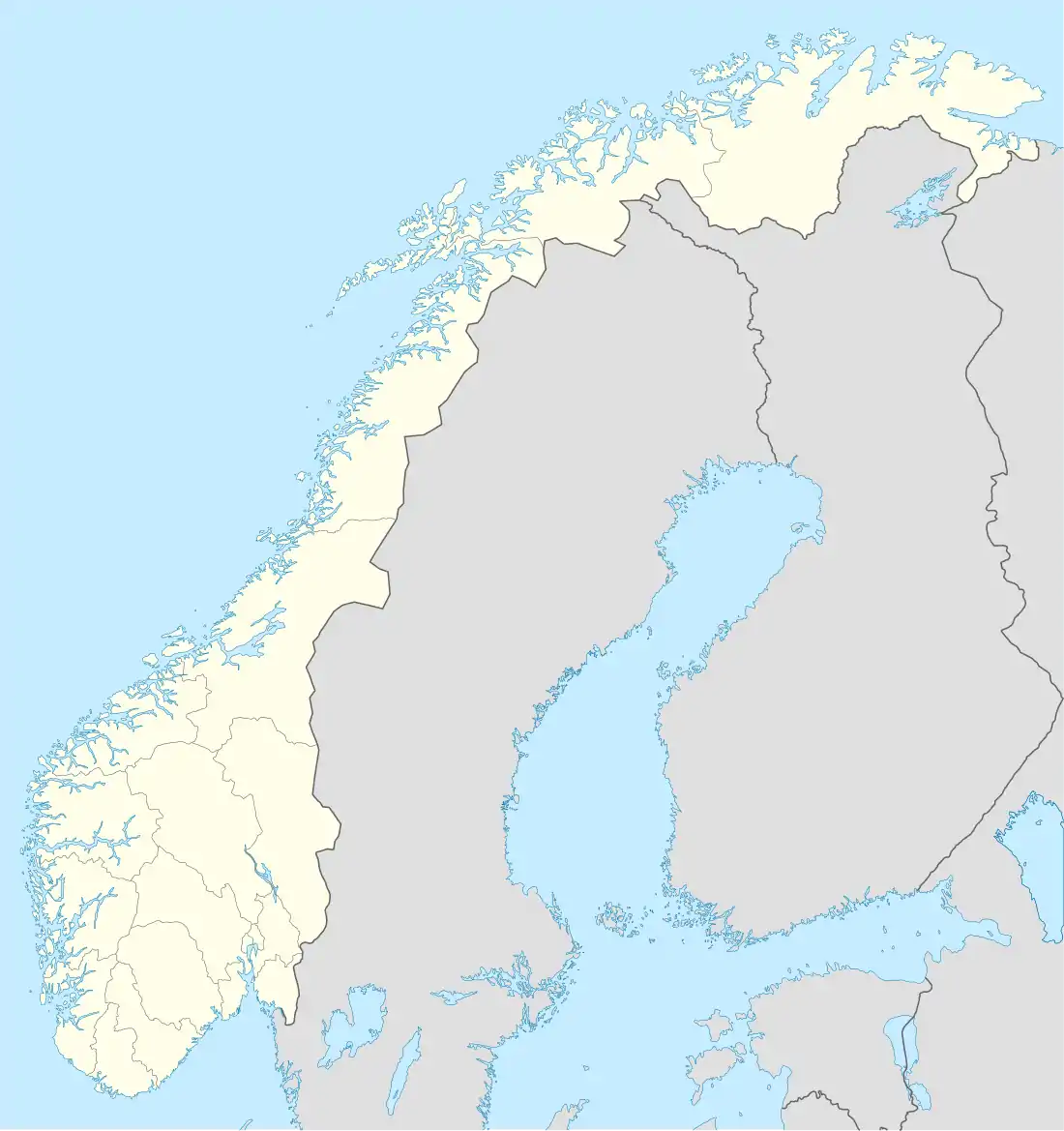 Skogbygda Skogbygda (Norway) | |
| Coordinates: 61°45′06″N 9°14′12″E / 61.75156°N 9.23677°E | |
| Country | Norway |
| Region | Eastern Norway |
| County | Innlandet |
| District | Gudbrandsdalen |
| Municipality | Sel Municipality |
| Elevation | 664 m (2,178 ft) |
| Time zone | UTC+01:00 (CET) |
| • Summer (DST) | UTC+02:00 (CEST) |
| Post Code | 2676 Heidal |
Skogbygda is a village in Sel Municipality in Innlandet county, Norway. The village is located in the Heidal valley, about 7 kilometres (4.3 mi) southwest of the village of Bjølstad. The rural farming village area is predominantly agricultural, counting a few dozen farms, the main ones being Steine (cadastral number 176), Brenna (177), Holen (178), Kagrud (179) and Åseng (180).[2]
References
- ↑ "Skogbygda, Sel". yr.no. Retrieved 5 June 2022.
- ↑ Granum, Svein Knut; Næss, Hans M., eds. (1998). Heidal, Nord-Fron, Sel, Sør-Fron. Norske gardsbruk (in Norwegian). Vol. Oppland fylke. 7. ISBN 8291124051.
This article is issued from Wikipedia. The text is licensed under Creative Commons - Attribution - Sharealike. Additional terms may apply for the media files.