St. Antönien Ascharina | |
|---|---|
 Coat of arms | |
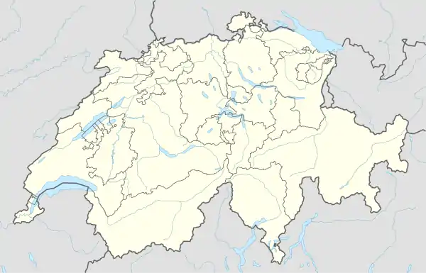
Location of St. Antönien Ascharina | |
 St. Antönien Ascharina 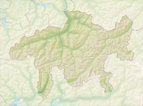 St. Antönien Ascharina | |
| Coordinates: 46°58′N 9°48′E / 46.967°N 9.800°E | |
| Country | Switzerland |
| Canton | Graubünden |
| District | Prättigau/Davos |
| Area | |
| • Total | 49.63 km2 (19.16 sq mi) |
| Elevation | 937 m (3,074 ft) |
| Population (2005) | |
| • Total | 1,390 |
| • Density | 28/km2 (73/sq mi) |
| Time zone | UTC+01:00 (Central European Time) |
| • Summer (DST) | UTC+02:00 (Central European Summer Time) |
| Postal code(s) | 7212 |
| SFOS number | 3892 |
| Surrounded by | Küblis, Luzein, Saas im Prättigau, Sankt Antönien |
| Website | |
St. Antönien Ascharina is a former municipality in the Swiss canton of Graubünden. Until 1953, the municipality was known as Ascharina.
The municipalities of St. Antönien Ascharina and St. Antönien have voted with a large majority to combine the two municipalities, effective January 1, 2007.
The municipality is German-speaking.
References
This article is issued from Wikipedia. The text is licensed under Creative Commons - Attribution - Sharealike. Additional terms may apply for the media files.