| T'ula T'ulani | |
|---|---|
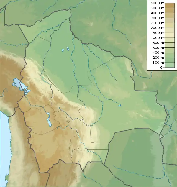 T'ula T'ulani Location within Bolivia | |
| Highest point | |
| Elevation | 4,900 m (16,100 ft)[1] |
| Coordinates | 17°01′17″S 67°24′59″W / 17.02139°S 67.41639°W |
| Geography | |
| Location | Bolivia, La Paz Department, Loayza Province, Malla Municipality |
| Parent range | Andes |
T'ula T'ulani (Aymara t'ula wood, burning material,[2] the reduplication indicates that there is a group of something, -ni a suffix to indicate ownership, "the one with a lot of wood (or burning material)", also spelled Thola Tholani) is a mountain in the La Paz Department in the Andes of Bolivia which reaches a height of approximately 4,900 m (16,100 ft). It is located in the Loayza Province, Malla Municipality, southwest of Turi Turini and northwest of Itapalluni.[3]
References
- ↑ Bolivian IGM map 1:50,000 Yaco 6142-IV
- ↑ "Diccionario Quechua - Aymara al español". katari.org. Retrieved February 23, 2016.
- ↑ "Malla". INE, Bolivia. Retrieved February 23, 2016.
This article is issued from Wikipedia. The text is licensed under Creative Commons - Attribution - Sharealike. Additional terms may apply for the media files.