Temósachic | |
|---|---|
Town | |
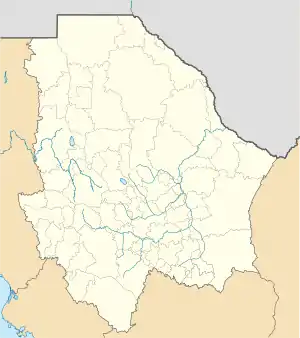 Temósachic Location in Mexico 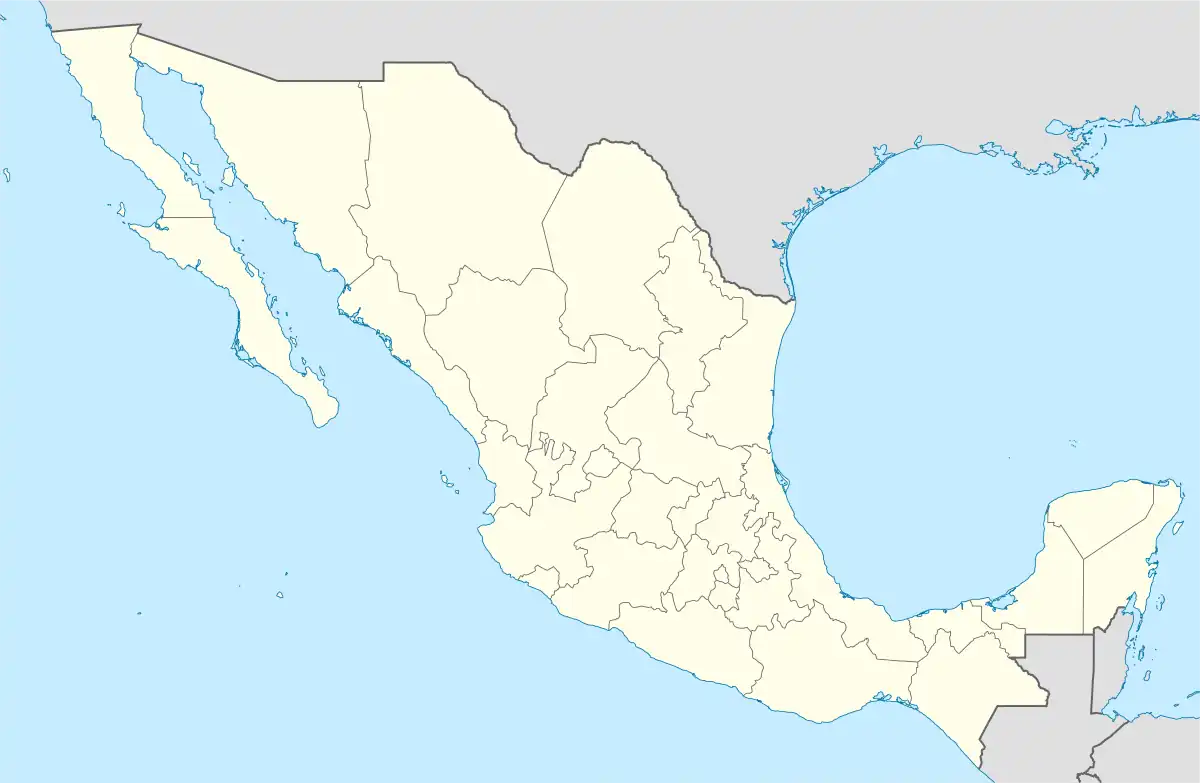 Temósachic Temósachic (Mexico) | |
| Coordinates: 29°27′0″N 108°22′0″W / 29.45000°N 108.36667°W | |
| Country | |
| State | Chihuahua |
| Municipality | Temósachi |
| Population (2005) | |
| • Total | 1,786 |
| Time zone | Mexican Pacific Time Zone |
Temósachic is a town and seat of the municipality of Temósachic, in the northern Mexican state of Chihuahua. As of 2010, the town of Temósachic had a population of 1,841,[1] up from 1,786 as of 2005.[2]
Geography
Climate
| Climate data for Temósachic (1951–2010) | |||||||||||||
|---|---|---|---|---|---|---|---|---|---|---|---|---|---|
| Month | Jan | Feb | Mar | Apr | May | Jun | Jul | Aug | Sep | Oct | Nov | Dec | Year |
| Record high °C (°F) | 28.0 (82.4) |
28.1 (82.6) |
29.4 (84.9) |
35.5 (95.9) |
37.5 (99.5) |
38.5 (101.3) |
38.0 (100.4) |
36.0 (96.8) |
33.5 (92.3) |
37.5 (99.5) |
32.0 (89.6) |
27.0 (80.6) |
38.5 (101.3) |
| Mean daily maximum °C (°F) | 16.8 (62.2) |
18.4 (65.1) |
21.2 (70.2) |
24.6 (76.3) |
28.5 (83.3) |
31.3 (88.3) |
29.2 (84.6) |
28.3 (82.9) |
27.2 (81.0) |
24.5 (76.1) |
20.3 (68.5) |
16.7 (62.1) |
23.9 (75.0) |
| Daily mean °C (°F) | 5.7 (42.3) |
7.5 (45.5) |
9.7 (49.5) |
13.1 (55.6) |
16.8 (62.2) |
20.5 (68.9) |
21.1 (70.0) |
20.6 (69.1) |
18.6 (65.5) |
14.0 (57.2) |
9.0 (48.2) |
5.6 (42.1) |
13.5 (56.3) |
| Mean daily minimum °C (°F) | −5.4 (22.3) |
−3.5 (25.7) |
−1.9 (28.6) |
1.5 (34.7) |
5.0 (41.0) |
9.8 (49.6) |
12.9 (55.2) |
13.0 (55.4) |
9.9 (49.8) |
3.5 (38.3) |
−2.3 (27.9) |
−5.5 (22.1) |
3.1 (37.6) |
| Record low °C (°F) | −16.0 (3.2) |
−15.0 (5.0) |
−13.0 (8.6) |
−12.0 (10.4) |
−10.0 (14.0) |
−9.0 (15.8) |
1.6 (34.9) |
6.0 (42.8) |
−2.0 (28.4) |
−8.0 (17.6) |
−16.0 (3.2) |
−17.4 (0.7) |
−17.4 (0.7) |
| Average precipitation mm (inches) | 25.3 (1.00) |
17.7 (0.70) |
10.1 (0.40) |
7.2 (0.28) |
8.9 (0.35) |
40.6 (1.60) |
118.7 (4.67) |
99.8 (3.93) |
52.5 (2.07) |
26.8 (1.06) |
11.3 (0.44) |
26.5 (1.04) |
445.4 (17.54) |
| Average precipitation days (≥ 0.1 mm) | 3.7 | 3.2 | 2.4 | 1.8 | 2.5 | 7.3 | 17.1 | 15.6 | 8.9 | 3.9 | 2.4 | 4.1 | 72.9 |
| Average relative humidity (%) | 71 | 67 | 61 | 57 | 51 | 54 | 69 | 74 | 71 | 67 | 68 | 71 | 65 |
| Mean monthly sunshine hours | 220 | 214 | 212 | 293 | 281 | 264 | 212 | 214 | 225 | 238 | 210 | 176 | 2,759 |
| Source 1: Servicio Meteorologico Nacional (humidity 1981–2000)[3][4][5] | |||||||||||||
| Source 2: Deutscher Wetterdienst (sun, 1961–1990)[6][lower-alpha 1] | |||||||||||||
References
- ↑ "Temósachic". Catálogo de Localidades. Secretaría de Desarrollo Social (SEDESOL). Retrieved 23 April 2014.
- ↑ Instituto Nacional de Estadística y Geografía. Principales resultados por localidad 2005 (ITER). Retrieved on October 25, 2008.
- ↑ "Estado de Chihuahua-Estacion: Temosachic (Obs)". Normales Climatologicas 1951–2010 (in Spanish). Servicio Meteorologico Nacional. Retrieved 4 May 2015.
- ↑ "Extreme Temperatures and Precipitation for Temosachic (Obs) 1982–2007" (in Spanish). Servicio Meteorológico Nacional. Retrieved 4 May 2015.
- ↑ "NORMALES CLIMATOLÓGICAS 1981–2000" (PDF) (in Spanish). Servicio Meteorológico Nacional. Retrieved 4 May 2015.
- ↑ "Station 76220: Temosachic". Global station data 1961–1990—Sunshine Duration. Deutscher Wetterdienst. Archived from the original on 2017-10-17. Retrieved 4 May 2015.
Notes
- ↑ Station ID for Temosachic is 76220 Use this station ID to locate the sunshine duration
Chihuahua (capital) | ||
| Cities |  | |
| Municipalities | ||
| Metropolitan areas |
| |
| History | ||
| Sights | ||
| Other topics | ||
This article is issued from Wikipedia. The text is licensed under Creative Commons - Attribution - Sharealike. Additional terms may apply for the media files.