Thandaung
သံတောင်မြို့ | |
|---|---|
_-_panoramio_(3).jpg.webp) | |
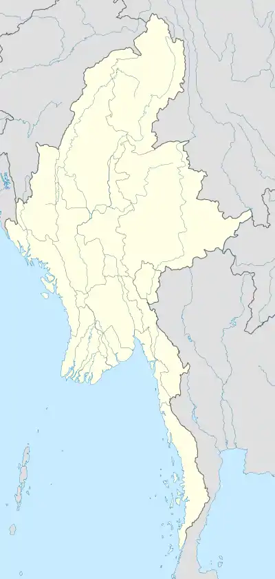 Thandaung Location in Burma | |
| Coordinates: 19°01′18.29″N 96°34′57.56″E / 19.0217472°N 96.5826556°E | |
| Country | |
| Division | |
| District | Hpa-an District |
| Township | Thandaung Township |
| Population (2005) | |
| • Religions | Buddhism and Christianity |
| Time zone | UTC+6.30 (MST) |
Thandaung (Phlone ဍုံသင်တင်; Burmese: သံတောင်မြို့) is a small resort town in the Kayin State of south Myanmar. The majority of its population is Karen. It was developed as a hill station by the British.
External links
- "Thandaung Map — Satellite Images of Thandaung" at Maplandia
Capital: Hpa-an | ||
| Hpa-an District |  | |
| Hpapun District | ||
| Kawkareik District | ||
| Myawaddy District | ||
| Cities and towns | ||
This article is issued from Wikipedia. The text is licensed under Creative Commons - Attribution - Sharealike. Additional terms may apply for the media files.