| Virinta | |
|---|---|
 | |
| Location | |
| Country | Lithuania |
| Region | Anykščiai district municipality, Utena County |
| Physical characteristics | |
| Mouth | |
• coordinates | 55°27′28″N 25°00′18″E / 55.4577°N 25.0050°E |
| Length | 59.1 km (36.7 mi) |
| Basin size | 566.3 km2 (218.6 sq mi) |
| Basin features | |
| Progression | Šventoji→ Neris→ Neman→ Baltic Sea |
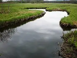
The Virinta is a river of Anykščiai district municipality, Utena County, in northeastern Lithuania. It flows for 59.1 kilometres (36.7 mi) and has a basin area of 566.3 km2 (218.6 sq mi).
It is a tributary of the Šventoji.
References
- LIETUVOS RESPUBLIKOS UPIŲ IR TVENKINIŲ KLASIFIKATORIUS (Republic of Lithuania- River and Pond Classifications). Ministry of Environment (Lithuania). Accessed 2011-11-17.
This article is issued from Wikipedia. The text is licensed under Creative Commons - Attribution - Sharealike. Additional terms may apply for the media files.