| Yuraq Mach'ay | |
|---|---|
 Yuraq Mach'ay Peru | |
| Highest point | |
| Elevation | 4,800 m (15,700 ft)[1] |
| Coordinates | 13°03′39″S 75°00′21″W / 13.06083°S 75.00583°W |
| Geography | |
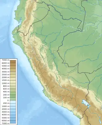
| Location | Peru, Huancavelica Region, Huancavelica Province |
| Parent range | Andes, Chunta |
Yuraq Mach'ay (Quechua yuraq white, mach'ay cave,[2] "white cave", Hispanicized spelling Yurac Machay) is a mountain in the Chunta mountain range in the Andes of Peru, about 4,800 m (15,700 ft) high. It is located in the Huancavelica Region, Huancavelica Province, Huacocolpa District. Yuraq Mach'ay lies north of Yana Urqu.[1]
References
- 1 2 escale.minedu.gob.pe - UGEL map of the Huancavelica Province 1 (Huancavelica Region)
- ↑ Teofilo Laime Ajacopa (2007). Diccionario Bilingüe: Iskay simipi yuyayk’anch: Quechua – Castellano / Castellano – Quechua (PDF). La Paz, Bolivia: futatraw.ourproject.org.
This article is issued from Wikipedia. The text is licensed under Creative Commons - Attribution - Sharealike. Additional terms may apply for the media files.