| Øyre | |
|---|---|
  Øyre Location of the mountain 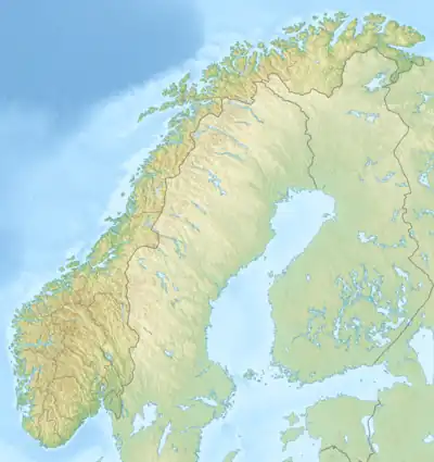 Øyre Øyre (Norway) | |
| Highest point | |
| Elevation | 1,671 m (5,482 ft)[1] |
| Prominence | 122 m (400 ft)[1] |
| Parent peak | Ørnenosi |
| Isolation | 1.9 km (1.2 mi)[1] |
| Coordinates | 61°04′40″N 8°24′53″E / 61.07775°N 8.41471°E[2] |
| Geography | |
| Location | Innlandet, Norway |
| Parent range | Filefjell |
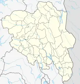
Øyre is a mountain in Vang Municipality in Innlandet county, Norway. The 1,671-metre (5,482 ft) tall mountain is located in the Filefjell mountain area, about 10 kilometres (6.2 mi) southwest of the village of Vang i Valdres. The mountain is surrounded by several other notable mountains including Tverrfjellet, Skoddetinden, and Kljåkinnknippene to the northwest; Ørnenosi to the southwest; Storebotteggi to the south; Rankonosi and Ranastongi to the southeast; and Grindane to the east.[1][3][4]
See also
References
- 1 2 3 4 "Øyre". PeakVisor.com. Retrieved 27 August 2022.
- ↑ "Øyre, Vang" (in Norwegian). yr.no. Retrieved 27 August 2022.
- ↑ "Øyre (1674 m)". peakbook.org. Retrieved 24 January 2021.
- ↑ "Norgeskart". norgeskart.no. Retrieved 24 January 2021.
This article is issued from Wikipedia. The text is licensed under Creative Commons - Attribution - Sharealike. Additional terms may apply for the media files.