Aadarsha Rural Municipality
आदर्श गाउँपालिका | |
|---|---|
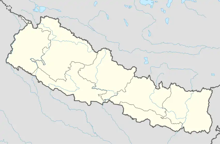 Aadarsha Rural Municipality नेपालको नक्शामा आदर्श गाउँपालिका | |
| Coordinates: 29°20′40″N 80°52′37″E / 29.34440°N 80.8769°E | |
| Country | |
| Province | Sudurpashchim Province |
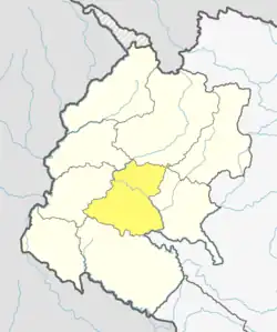
| District | Doti District |
| Government | |
| • Type | Local government |
| • Body | Village Executive |
| • Chairperson | Tek B. Rokkaya |
| • Administration head | Surat B. Pariyar |
| Area | |
| • Total | 128.47 km2 (49.60 sq mi) |
| Population | |
| • Total | 23,945 |
| • Density | 190/km2 (480/sq mi) |
| Time zone | UTC+05:45 (Nepal Standard Time) |
| Website | http://aadarshamun.gov.np |
Aadarsha (Nepali: आदर्श) is a Gaupalika in Doti District in the Sudurpashchim Province of far-western Nepal.[1]
Aadarsha has a population of 23945.The land area is 128.47 km2.[2]
Demographics
At the time of the 2011 Nepal census, Aadarsha Rural municipality had a population of 24,482. Of these, 99.4% spoke Doteli, 0.4% Nepali and 0.1% other languages as their first language.[3]
In terms of ethnicity/caste, 58.4% were Chhetri, 13.3% Hill Brahmin, 12.0% Kami, 6.2% other Dalit, 5.0% Damai/Dholi, 1.8% Badi, 1.8% Sarki, 0.9% Thakuri, 0.3% Lohar, 0.1% other Terai and 0.1% others.[4]
In terms of religion, 100.0% were Hindu.[5]
In terms of literacy, 45.5% could read and write, 3.1% could only read and 50.7% could neither read nor write.[6]
References
- ↑ "Ministry of Federal Affairs". Retrieved 6 July 2020.
- ↑ "National Population and Housing Census 2011(National Report)" (PDF). Central Bureau of Statistics. Government of Nepal. 2012. Archived from the original (PDF) on 2013-04-18. Retrieved 2012-01-01.
- ↑ NepalMap Language
- ↑ NepalMap Caste
- ↑ NepalMap Religion
- ↑ NepalMap Literacy
This article is issued from Wikipedia. The text is licensed under Creative Commons - Attribution - Sharealike. Additional terms may apply for the media files.