| This article is part of a series on the |
| Administrative divisions of South Korea |
|---|
| Provincial level |
| Province (list) |
| Special self-governing province (Jeju and Gangwon) |
| Special city (Seoul) |
| Metropolitan city (list) |
| Special self-governing city (Sejong) |
| Municipal level |
| Specific city (list) |
| City (list) |
| County (list) |
| Autonomous District (list) |
| Submunicipal level |
| Administrative city (list) |
| Non-autonomous District (list) |
| Neighborhoods and Towns |
| Town (list) |
| Township (list) |
| Neighborhood (list) |
| Villages |
| Village (list) |
| Communities |
| Ward |
There are 4 dong in Dobong-gu.
- Banghak-dong (방학동 放鶴洞) 1, 2, 3
- Chang-dong (창동 倉洞) 1, 2, 3, 4, 5
- Dobong-dong (도봉동 道峰洞) 1, 2
- Ssangmun-dong (쌍문동 雙門洞) 1, 2, 3, 4
List by population and area
| Name | Population | Area | Population Density |
|---|---|---|---|
| Banghak-dong | 89,855 | 4.07 km² (1.57 sq mi) | 22,077 /km² (57,180 /sq mi) |
| Dobong-dong | 56,990 | 9.55 km² (3.7 sq mi) | 5,697 /km² (15,402 /sq mi) |
| Chang-dong | 136,898 | 4.35 km² (1.68 sq mi) | 31,471 /km² (81,509 /sq mi) |
| Ssangmun-dong | 84,893 | 2.81 km² (1.08 sq mi) | 30,211 /km² (78,246 /sq mi) |
General information
| Name | Sub-divisions | Points of interest | Image | Location | Description |
|---|---|---|---|---|---|
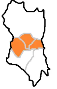
| Banghak-dong |
|
 |
|||
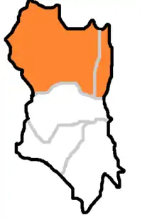
| Chang-dong |
|
 |
|||
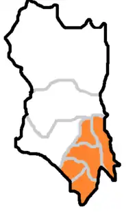
| Dobong-dong |
|
 |
|||
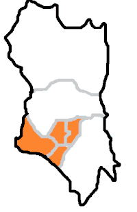
| Ssangmun-dong |
|
 |
This article is issued from Wikipedia. The text is licensed under Creative Commons - Attribution - Sharealike. Additional terms may apply for the media files.