Aghar | |
|---|---|
Village | |
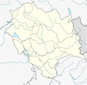 Aghar Location in Himachal Pradesh, India | |
| Coordinates: 31°59′13″N 75°51′25″E / 31.987°N 75.857°E | |
| Country | |
| State | Himachal pradesh |
| District | Kangra |
| Area | |
| • Total | 10 km2 (4 sq mi) |
| Elevation | 326 m (1,070 ft) |
| Population (2011)[1] | |
| • Total | 829 |
| • Density | 83/km2 (210/sq mi) |
| Languages | |
| • Official | Hindi |
| Time zone | UTC+5:30 (IST) |
| PIN | 176058 |
| Telephone code | 01893 |
| Vehicle registration | HP-88 |
Agahar is a small village in the Kangra District of Himachal Pradesh, with a population of 829 people.[2] It is located near Punjab border (Talwara Town) and @ 44 km from Pathankot and 18.5 km from Talwara Township. It comes under Rey Khas Panchayat.
References
- ↑ "Census of India: Search Details". Archived from Agahar Population - Chamba, Himachal Pradesh the original on 24 September 2015. Retrieved 22 May 2014.
{{cite web}}: Check|url=value (help) - ↑ Agahar Population - Chamba, Himachal Pradesh
This article is issued from Wikipedia. The text is licensed under Creative Commons - Attribution - Sharealike. Additional terms may apply for the media files.