| Ajo Range | |
|---|---|
| Highest point | |
| Peak | Mount Ajo |
| Elevation | 1,466 m (4,810 ft) |
| Geography | |
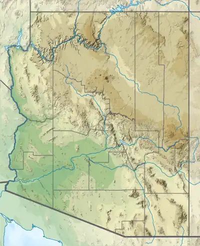
| Country | United States |
| State | Arizona |
| District | Pima County |
| Range coordinates | 31°59′3″N 112°39′11″W / 31.98417°N 112.65306°W |
| Topo map | USGS |
The Ajo Range is a mountain range in Pima County, Arizona.[1]
References
- 1 2 "Ajo Range". Geographic Names Information System. United States Geological Survey, United States Department of the Interior. Retrieved 2009-05-04.
This article is issued from Wikipedia. The text is licensed under Creative Commons - Attribution - Sharealike. Additional terms may apply for the media files.