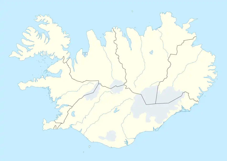
Akrahreppur | |
|---|---|
Former municipality | |
 Akrahreppur | |
| Coordinates: 65°27′25″N 18°57′41″W / 65.45694°N 18.96139°W | |
| Country | Iceland |
| Region | Northwestern Region |
| Constituency | Northwest Constituency |
| Municipality | Skagafjörður |
| Area | |
| • Total | 1,364 km2 (527 sq mi) |
| Population | |
| • Total | 208 |
| • Density | 0.15/km2 (0.4/sq mi) |
Akrahreppur (Icelandic pronunciation: [ˈaːkraˌr̥ɛhpʏr̥] ⓘ, regionally also [ˈaːkʰra-]) is a former municipality situated in the Northwestern Region of Iceland. It is divided into a range of villages, including Ábær. In February 2022, residents of Akrahreppur and the neighboring municipality of Skagafjörður voted to combine the two municipalities into a single municipality.[1] In June 2022 the merger was formalized under the name of Skagafjörður.[2]
Localities
- Ábær
- Miklibær
- Silfrastaðir
References
- ↑ "Skagafjörður verður eitt sveitarfélag" (in Icelandic). RÚV. 20 February 2022. Retrieved 5 April 2022.
- ↑ Hallgerður Kolbrún E. Jónsdóttir. "Sameinað Sveitarfélag Skagafjarðar og Akrahrepps fær nafn - Vísir". visir.is (in Icelandic). Retrieved 29 July 2022.
This article is issued from Wikipedia. The text is licensed under Creative Commons - Attribution - Sharealike. Additional terms may apply for the media files.