Albocàsser
Albocácer | |
|---|---|
 Coat of arms | |
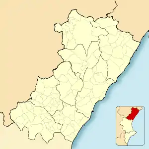 Albocàsser Location in Spain  Albocàsser Albocàsser (Valencian Community)  Albocàsser Albocàsser (Spain) | |
| Coordinates: 40°21′28″N 0°1′25″W / 40.35778°N 0.02361°W | |
| Country | |
| Autonomous community | |
| Province | Castellón |
| Comarca | Alt Maestrat |
| Judicial district | Castellón de la Plana |
| Area | |
| • Total | 82.3 km2 (31.8 sq mi) |
| Elevation | 538 m (1,765 ft) |
| Population (2018)[1] | |
| • Total | 1,234 |
| • Density | 15/km2 (39/sq mi) |
| Demonyms | Bocassí, bocassina |
| Time zone | UTC+1 (CET) |
| • Summer (DST) | UTC+2 (CEST) |
| Postal code | 12140 |
| Official language(s) | Valencian |
| Climate | Csa |
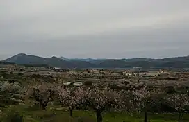
Eastern end of the Serra d'Esparreguera, near Albocàsser
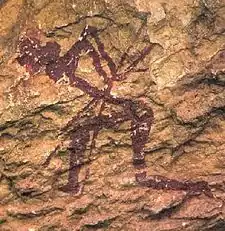
Cave painting.
Albocàsser (Valencian pronunciation: [alboˈkaseɾ]) or Albocácer in Spanish is a municipality in Castellón, Valencia, Spain.
It is located in the comarca of Alt Maestrat and has a population of 1439 inhabitants.[2] The area is mountainous and very picturesque, especially during the almond and cherry tree blooming season.
Albocàsser is surrounded by mountain ranges; the Serra d'En Galceran is located SW of the town and the Montegordo to the north.
References
- ↑ Municipal Register of Spain 2018. National Statistics Institute.
- ↑ "INE - Municipal Register: Official Population Figures since 1996". Archived from the original on 2019-01-07. Retrieved 2011-05-03.
External links
Wikimedia Commons has media related to Albocàsser.
- Albocàsser Town Hall official webpage
- Institut Valencià d'Estadística
- Portal de la Direcció General d'Administració Local de la Generalitat
Municipalities of Alt Maestrat | ||
|---|---|---|
This article is issued from Wikipedia. The text is licensed under Creative Commons - Attribution - Sharealike. Additional terms may apply for the media files.