Andres | |
|---|---|
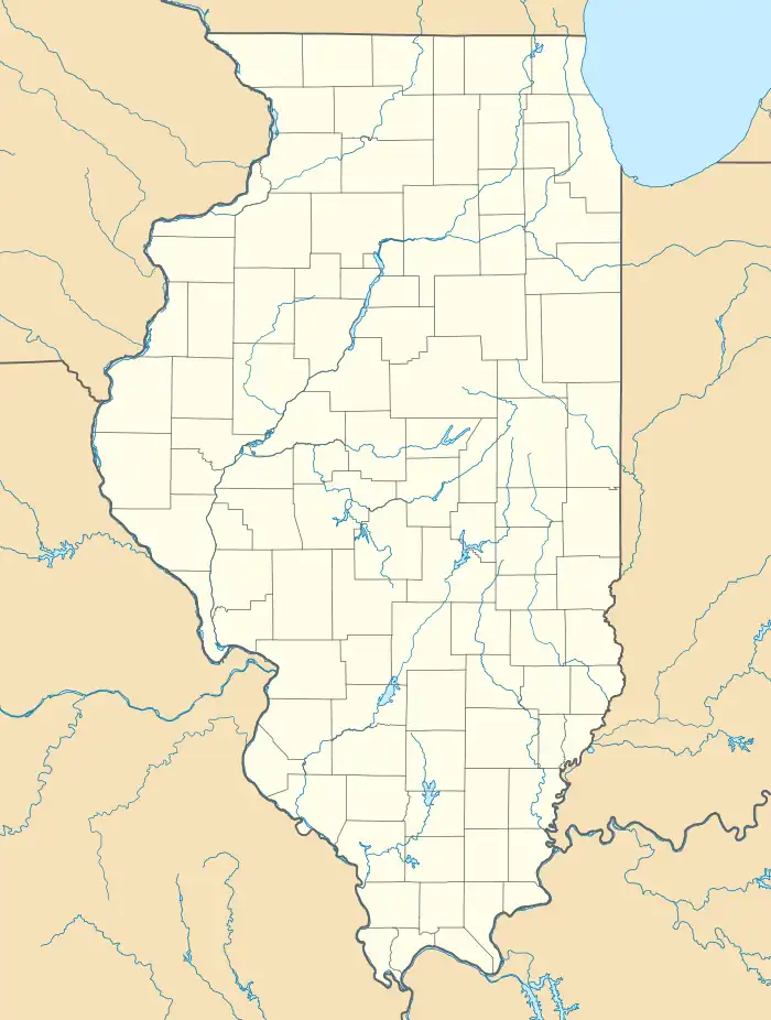  Andres Location of Andres within Illinois 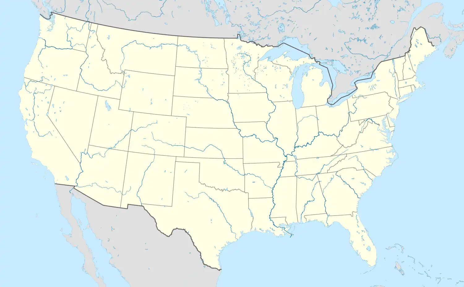 Andres Andres (the United States) | |
| Coordinates: 41°22′18″N 87°52′57″W / 41.37167°N 87.88250°W | |
| Country | United States |
| State | Illinois |
| County | Will |
| Area | |
| • Total | 0.12 sq mi (0.31 km2) |
| • Land | 0.12 sq mi (0.31 km2) |
| • Water | 0.00 sq mi (0.00 km2) |
| Elevation | 722 ft (220 m) |
| Population (2020) | |
| • Total | 43 |
| • Density | 361.34/sq mi (139.34/km2) |
| Time zone | UTC-6 (CST) |
| • Summer (DST) | UTC-5 (CDT) |
| Area codes | 815, 779 |
| FIPS code | 17-01517 |
Andres is an Unincorporated Community in Will County, Illinois, United States. It is located south of Frankfort and west of Peotone on U.S. Route 45.
Community information
Andres has a population of less than 50 people. There is no library or any city services. It has many older buildings. There are no city streets. The Chicago, Milwaukee, and Gary Railroad, a subsidiary of the Chicago, Milwaukee, St. Paul & Pacific Railroad, used to pass through on its route from Momence to Joliet.
School
Andres is part of Peotone Community School District 207-U.
Geography
Andres is located about 40 miles (64 km) away from Chicago. Andres is surrounded by farms.
Demographics
| Census | Pop. | Note | %± |
|---|---|---|---|
| 2020 | 43 | — | |
| U.S. Decennial Census[3] | |||
References
- ↑ "2020 U.S. Gazetteer Files". United States Census Bureau. Retrieved March 15, 2022.
- ↑ "USGS detail on Andres". Retrieved November 11, 2007.
- ↑ "Census of Population and Housing". Census.gov. Retrieved June 4, 2016.
Municipalities and communities of Will County, Illinois, United States | ||
|---|---|---|
| Cities | 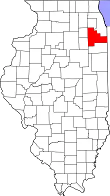 Map of Illinois highlighting Will County | |
| Villages |
| |
| Townships | ||
| CDPs | ||
| Other communities | ||
| Ghost town | ||
| Footnotes | ‡This populated place also has portions in an adjacent county or counties | |

This article is issued from Wikipedia. The text is licensed under Creative Commons - Attribution - Sharealike. Additional terms may apply for the media files.