Angostura | |
|---|---|
village | |
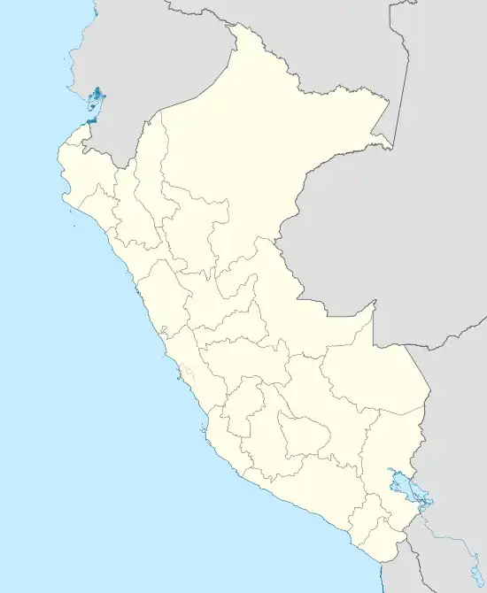 Angostura Location in Peru | |
| Coordinates: 4°56′38″S 80°22′37″W / 4.94389°S 80.37694°W | |
| Country | Peru |
| Region | Piura |
| Province | Sullana |
| Elevation | 92 m (301 ft) |
| Time zone | UTC-5 (PET) |
| • Summer (DST) | UTC-5 (PET) |
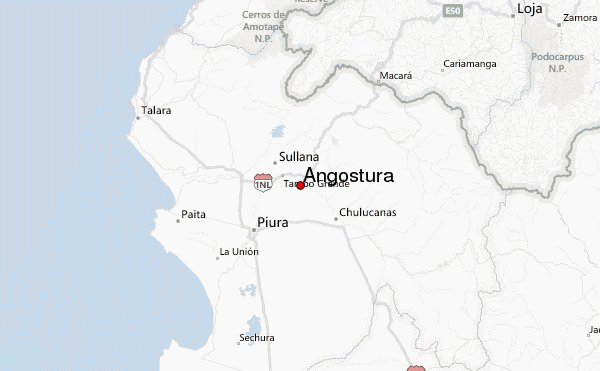
Angostura is a small village in Sullana Province, Piura Region, on the northwestern coastal plains of Peru.[1] It is approximately halfway between the towns of Chulucanas and Sullana in the Loma Blanca hills between the Chira River and the Piura River.[2]
Notes and references
- ↑ Angostura (Approved - N) at GEOnet Names Server
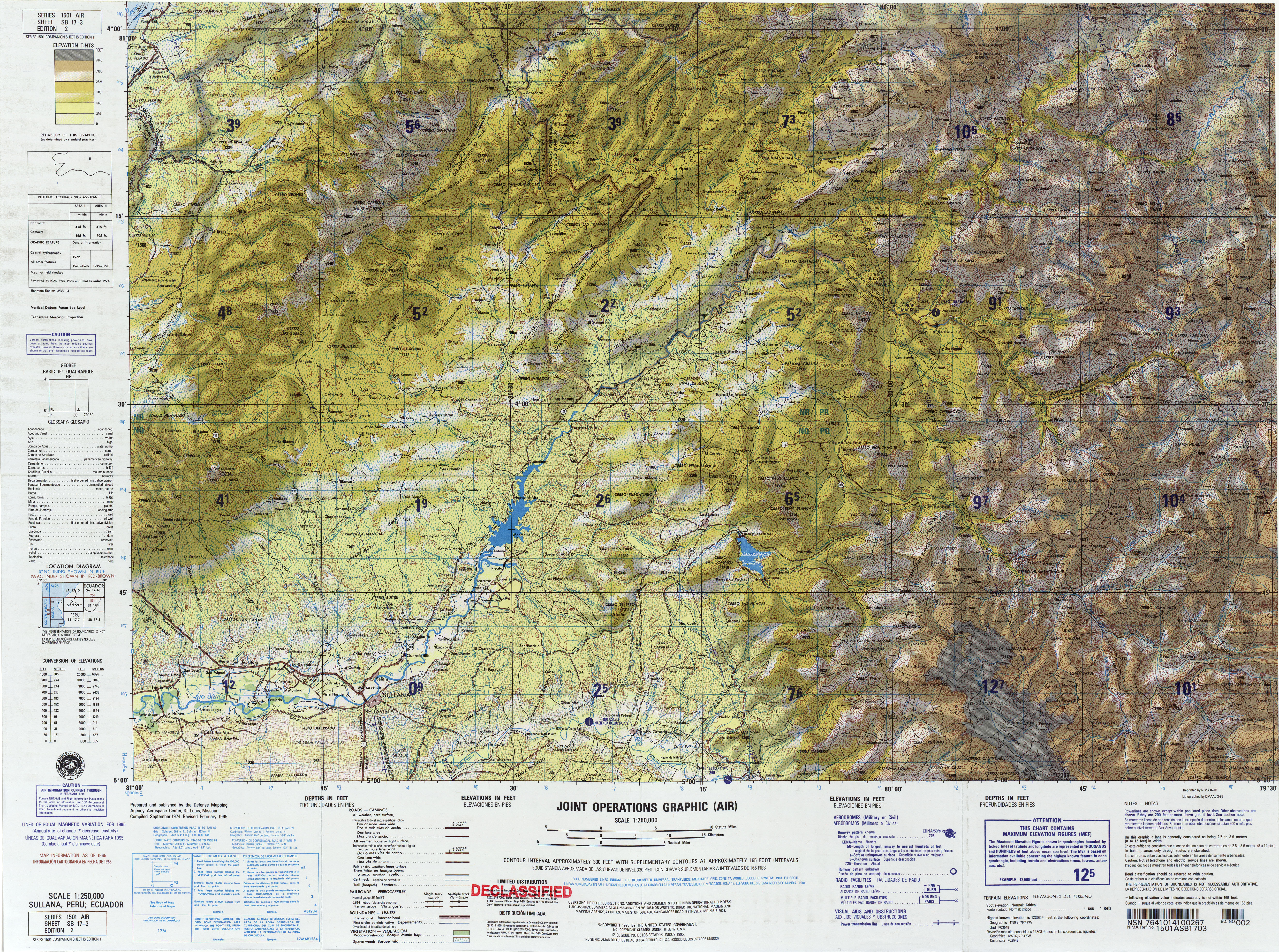
- ↑ United States Defense Mapping Agency (1995). Topographic map: Sullana, Peru; Ecuador, SB 17-03 (Map) (second ed.). 1:250,000. Series 1501 Air.
External links
- "Angostura, Peru, Piura Region, Map". Archived from the original on 12 April 2015.
This article is issued from Wikipedia. The text is licensed under Creative Commons - Attribution - Sharealike. Additional terms may apply for the media files.