Anorotsangana | |
|---|---|
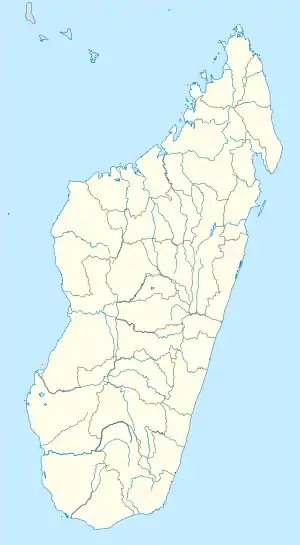 Anorotsangana Location in Madagascar | |
| Coordinates: 13°55′S 47°55′E / 13.917°S 47.917°E | |
| Country | |
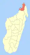
| Region | Diana |
| District | Ambanja |
| Elevation | 25 m (82 ft) |
| Population (2001)[2] | |
| • Total | 5,250 |
| Time zone | UTC3 (EAT) |
Anorotsangana is a municipality (French: commune, Malagasy: kaominina) in north-western Madagascar over the Mozambique Channel. It is some 250 kilometres south of Antsiranana. It belongs to the district of Ambanja, which is a part of Diana Region. According to 2001 census the population of Anorotsangana was 5,250.[2]
Only primary schooling is available in town. Farming and raising livestock provides employment for 40% and 21.3% of the working population. The most important crops are coffee and coconut, while other important agricultural products are pepper and rice. Industry and services provide employment for 0.5% and 0.2% of the population, respectively. Additionally fishing employs 38% of the population.[2]
References and notes
- ↑ Estimated based on DEM data from Shuttle Radar Topography Mission
- 1 2 3 "ILO census data". Cornell University. 2002. Retrieved 2008-02-13.
| Ambanja (24) - 203 |
|  |
|---|---|---|
| Ambilobe (15) - 204 | ||
| Antsiranana (Diego Suarez) (1) - 201 | ||
| Antsiranana II (22) - 202 |
| |
| Nosy Be (5) - 207 |
| |
5 districts; 51 communes | ||
13°55′S 47°55′E / 13.917°S 47.917°E