Appenweier | |
|---|---|
 Flag  Coat of arms | |
Location of Appenweier within Ortenaukreis district 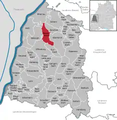 | |
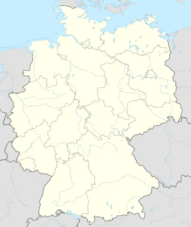  Appenweier 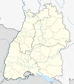 Appenweier | |
| Coordinates: 48°32′23″N 7°58′48″E / 48.53972°N 7.98000°E | |
| Country | Germany |
| State | Baden-Württemberg |
| Admin. region | Freiburg |
| District | Ortenaukreis |
| Government | |
| • Mayor (2018–26) | Manuel Tabor[1] |
| Area | |
| • Total | 38.03 km2 (14.68 sq mi) |
| Elevation | 152 m (499 ft) |
| Population (2021-12-31)[2] | |
| • Total | 10,214 |
| • Density | 270/km2 (700/sq mi) |
| Time zone | UTC+01:00 (CET) |
| • Summer (DST) | UTC+02:00 (CEST) |
| Postal codes | 77767 |
| Dialling codes | 07805 |
| Vehicle registration | OG, BH, KEL, LR, WOL |
| Website | www.appenweier.de |

Appenweier, churchtower (Sankt Michaelkirche)
Appenweier (Low Alemannic: Appewiir) is a municipality in western Baden-Württemberg, Germany in the district of Ortenau.
Geography
Appenweier consists of the main municipal Appenweier (4,075 inhabitants), Urloffen (4,301 inhabitants), known for horseradish-growing, and Nesselried (1,383 inhabitants). The Nesselried district runs through the Wannenbach valley, while Urloffen lies north of Appenweier.
References
- ↑ Aktuelle Wahlergebnisse, Staatsanzeiger, accessed 13 September 2021.
- ↑ "Bevölkerung nach Nationalität und Geschlecht am 31. Dezember 2021" [Population by nationality and sex as of December 31, 2021] (CSV) (in German). Statistisches Landesamt Baden-Württemberg. June 2022.
External links

Wikimedia Commons has media related to Appenweier.
- Appenweier Web Page (in German)
- Appenweier history, places of interest, destination (in German) Archived 2014-01-16 at the Wayback Machine

This article is issued from Wikipedia. The text is licensed under Creative Commons - Attribution - Sharealike. Additional terms may apply for the media files.